Prudence Island is the third-largest island in Narragansett Bay in the state of Rhode Island and part of the town of Portsmouth, Rhode Island, United States. It is located near the geographic center of the bay. It is defined by the United States Census Bureau as Block Group 3, Census Tract 401.03 of Newport County, Rhode Island. As of the 2010 census, the population was 278 people living on a land area of 14.43 km2.
Prudence Island Light in the early 20th century
A more recent view of the Prudence Island Light, with the Mt. Hope Bridge in the background
The Prudence Island Schoolhouse, built in 1896 on the corner of Broadway and Mt. Pleasant Ave.
Narragansett Bay is a bay and estuary on the north side of Rhode Island Sound covering 147 square miles (380 km2), 120.5 square miles (312 km2) of which is in Rhode Island. The bay forms New England's largest estuary, which functions as an expansive natural harbor and includes a small archipelago. Small parts of the bay extend into Massachusetts.
Narragansett Bay
Providence, Rhode Island's capital city, sits at the head of Narragansett Bay
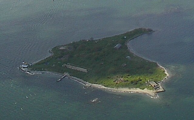
The name of Rose Island is attributed to the island's rose shape at low tide.
The Charles Blaskowitz Chart of Narragansett Bay published July 22, 1777 at Charing Cross, London


