Punggol LRT line
Videos
Page
The Punggol LRT is an automated guideway transit line in Singapore. The line, which initially opened on 29 January 2005, connects the residential districts and suburbs of Punggol to Punggol Town Centre, where it connects with the North East MRT line and the Punggol Bus Interchange. It is the third line of the LRT system in Singapore and like all other LRT lines, it is fully elevated and uses automated trains.
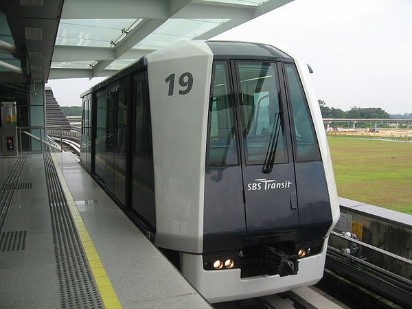
A C810 on the Punggol LRT

Concourse level of Punggol MRT/LRT station, with escalators leading up to the LRT platform.
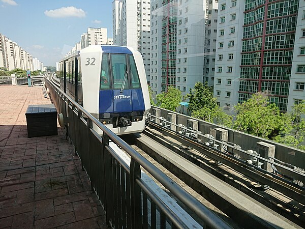
A Mitsubishi Crystal Mover C810 train pulling into Cove LRT station.

Image: PE2 Meridian Platform 2
Punggol
Videos
Page
Punggol, historically Ponggol, is a planning area and new town situated on the Tanjong Punggol peninsula in the North-East Region of Singapore. The town directly borders Sengkang to the south and shares riverine boundaries with the planning area of Seletar to the west and Pasir Ris to the east. Bounding the town to the north and north-east is the Straits of Johor, with Coney Island included as a part of the Punggol planning area.

Image: Punggol Town Centre

Image: Edgedale 10, Jan 06
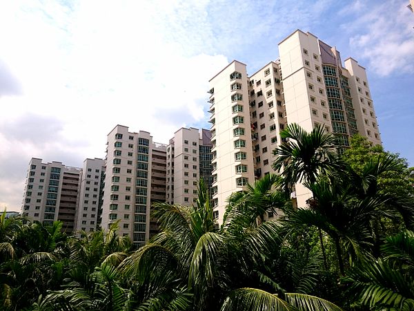
Image: Cove, Punggol Field

Image: Watertown Punggol