Purbeck Group
Videos
Photos
The Purbeck Group is an Upper Jurassic to Lower Cretaceous lithostratigraphic group in south-east England. The name is derived from the district known as the Isle of Purbeck in Dorset where the strata are exposed in the cliffs west of Swanage.

Strata of the Purbeck Group in Durlston Bay, Dorset

Gastropods and bivalves in the Portland limestone, Purbeck quarry, southern England. Scale of the large gastropod is about 5 centimetres (2.0 in).

Animals by the Purbeck lagoon

Thrombolites in the basal part of the Purbeck Group, Isle of Portland
Isle of Purbeck
Videos
Photos
The Isle of Purbeck is a peninsula in Dorset, England. It is bordered by water on three sides: the English Channel to the south and east, where steep cliffs fall to the sea; and by the marshy lands of the River Frome and Poole Harbour to the north. Its western boundary is less well defined, with some medieval sources placing it at Flower's Barrow above Worbarrow Bay. John Hutchins, author of The History and Antiquities of the County of Dorset, defined Purbeck's western boundary as the Luckford Lake stream, which runs south from the Frome. According to writer and broadcaster Ralph Wightman, Purbeck "is only an island if you accept the barren heaths between Arish Mell and Wareham as cutting off this corner of Dorset as effectively as the sea." The most southerly point is St Alban's Head.

Corfe Castle
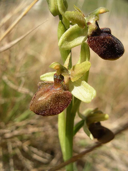
Ophrys sphegodes, the Early Spider Orchid

Swanage, the main town and resort of Purbeck, with the Purbeck Hills in the background.