The Range of the Awful Hand is a range of hills in the Galloway Hills range, part of the Southern Uplands of Scotland. The most westerly of three parallel ridges, the range is neighboured to the east by the Dungeon Hills and the Rhinns of Kells. The Minnigaff Hills also lie southeast. In total, these four ranges are part of the Galloway Forest Park. The ridge is split between South Ayrshire and Dumfries and Galloway.
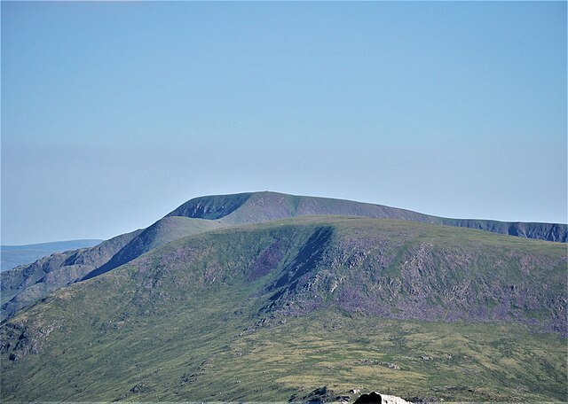
Kirriereoch Hill and Merrick from Shalloch on Minnoch (N)
Tarfessock and Shalloch on Minnoch from Kirriereoch Hill (S)
The Galloway Hills are part of the Southern Uplands of Scotland, and form the northern boundary of western Galloway. They lie within the bounds of the Galloway Forest Park, an area of some 300 square miles (800 km2) of largely uninhabited wild land, managed by Forestry and Land Scotland. The unusual place names reflect a mixture of the Old Norse and Scottish Gaelic languages and hint at the range of influences which have acted on society within the area over the centuries.
Portions of the Rhinns of Kells and Range of the Awful Hand from Cairnsmore of Carsphairn.
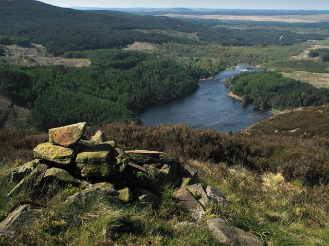
Looking south west from Buchan Hill down Loch Trool.
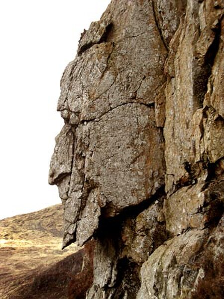
Grey Man of the Merrick.
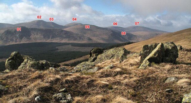
Dungeon Hills and Awful Hand from the Saddle between Millfire and Corserine in the Rhinns of Kells. 01 Dungeon Hill - 02 Merrick - 03 Little Spear of Merrick - 04 Kirriereoch - 05 Mullwharchar - 06 Tarfessock - 07 Shalloch on Minnoch - 08 Hoodens Hill.


