Republic of Ireland–United Kingdom border
The Republic of Ireland–United Kingdom border, sometimes referred to as the Irish border or British–Irish border, runs for 499 km (310 mi) from Lough Foyle in the north-west of Ireland to Carlingford Lough in the north-east, separating the Republic of Ireland from Northern Ireland.
The border at Killeen (viewed from the UK side) marked only by a metric (km/h) speed limit sign
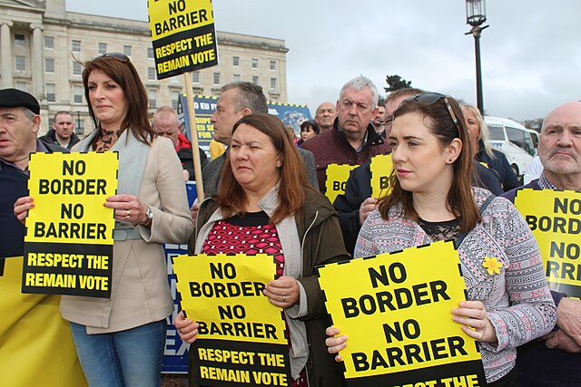
A Sinn Féin protest against a hard border. Post-Brexit border controls are a controversial issue.
A bilingual traffic sign in County Louth, in the Republic of Ireland, warning drivers travelling south across the border that metric speed limits are used in ROI, whereas the UK uses imperial units in driving.
Lough Foyle, sometimes Loch Foyle, is the estuary of the River Foyle, on the north coast of Ireland. It lies between County Londonderry in Northern Ireland and County Donegal in the Republic of Ireland. Sovereignty over the waters has been in dispute since the Partition of Ireland.
From south shore
Seen from Space: Derry with the Ulster coastline with Lough Swilly west and Lough Foyle east of the city and the Inishowen.