Rifle is a home rule municipality in, and the most populous community of, Garfield County, Colorado, United States. The population was 10,437 at the 2020 census. Rifle is a regional center of the cattle ranching industry located along Interstate 70 and the Colorado River just east of the Roan Plateau, which dominates the western skyline of the town. The town was founded in 1882 by Abram Maxfield, and was incorporated in 1905 along Rifle Creek, near its mouth on the Colorado. The community takes its name from the creek.
Railroad Avenue in Rifle looking north.
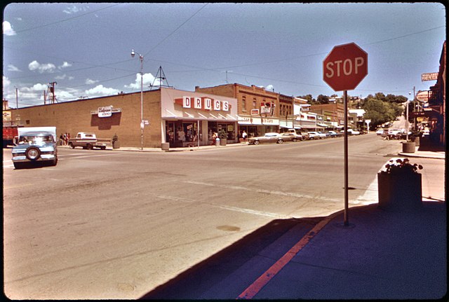
Rifle, 1973
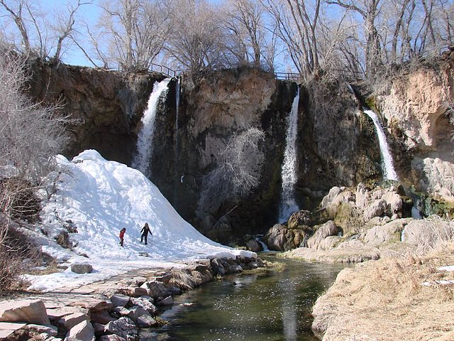
Rifle Falls State Park, north of Rifle
Rifle Bridge in winter on the Colorado River. The bridge, built in 1909, is now closed to traffic and is listed on the National Register of Historic Places.
Interstate 70 in Colorado
Interstate 70 (I-70) is a transcontinental Interstate Highway in the United States, stretching from Cove Fort, Utah, to Baltimore, Maryland. In Colorado, the highway traverses an east–west route across the center of the state. In western Colorado, the highway connects the metropolitan areas of Grand Junction and Denver via a route through the Rocky Mountains. In eastern Colorado, the highway crosses the Great Plains, connecting Denver with metropolitan areas in Kansas and Missouri. Bicycles and other non-motorized vehicles, normally prohibited on Interstate Highways, are allowed on those stretches of I-70 in the Rockies where no other through route exists.
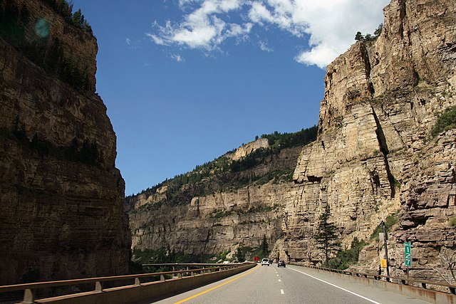
Westbound I-70 on a viaduct inside Glenwood Canyon, paralleling the Colorado River and former Denver and Rio Grande Western Railroad (now Union Pacific) main line
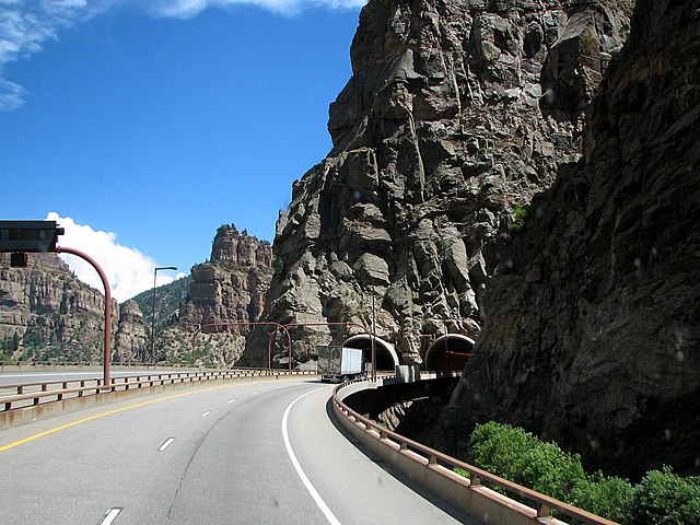
The western portal of the Hanging Lake Tunnel; at this point in the canyon both the river and the railroad are directly below the freeway viaducts.
Entrance to the Eisenhower Tunnel
Warning sign stating, "Trucks, Don't be Fooled—4 more miles [6.4 km] of steep grades and sharp curves"


![Warning sign stating, "Trucks, Don't be Fooled—4 more miles [6.4 km] of steep grades and sharp curves"](https://upload.wikimedia.org/wikipedia/commons/thumb/a/a6/TrucksDontBeFooled.JPG/640px-TrucksDontBeFooled.JPG)