Rio Grande National Forest
Rio Grande National Forest is a 1.86 million-acre (7,530 km2) U.S. National Forest located in southwestern Colorado. The forest encompasses the San Luis Valley, which is the world's largest agricultural alpine valley, as well as one of the world's largest high deserts located around mountains. The Rio Grande rises in the forest, and the Continental Divide runs along most of its western border. The forest lies in parts of nine counties. In descending order of land area within the forest they are Saguache, Mineral, Conejos, Rio Grande, Hinsdale, San Juan, Alamosa, Archuleta, and Custer counties. Forest headquarters are currently located in Monte Vista, Colorado, but plan to move to Del Norte. There are local ranger district offices in Del Norte, La Jara, and Saguache.
Stony Pass jeep road, east of Silverton, Colorado, along an old wagon road over Stony Pass (12,588 feet), at the edge of the Weminuche Wilderness
Mountains in Rio Grande National Forest in September 2013
The Continental Divide of the Americas separates the Rio Grande National Forest and the San Juan National Forest.
The Rio Grande in the United States or the Río Bravo in Mexico is one of the principal rivers in the southwestern United States and in northern Mexico. The length of the Rio Grande is 1,896 miles (3,051 km), making it the 4th longest river in the United States and in North America by main stem. It originates in south-central Colorado, in the United States, and flows to the Gulf of Mexico. The Rio Grande drainage basin (watershed) has an area of 182,200 square miles (472,000 km2); however, the endorheic basins that are adjacent to and within the greater drainage basin of the Rio Grande increase the total drainage-basin area to 336,000 square miles (870,000 km2).
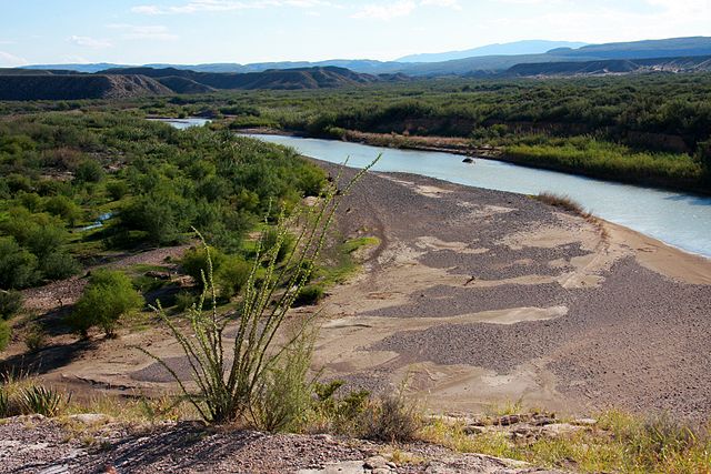
The Rio Grande at Big Bend National Park, on the Mexico–U.S. border
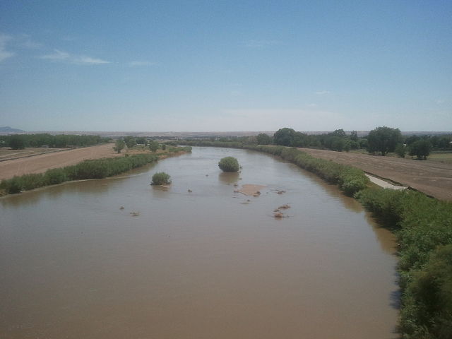
A riverine islet in the Rio Grande, seen from North Valley, New Mexico.
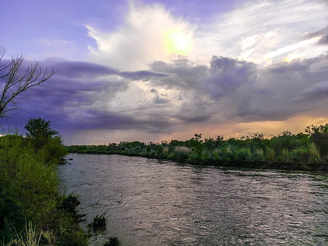
Rio Grande in west El Paso near the New Mexico state line
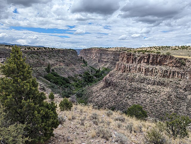
Rio Grande Gorge in Central New Mexico


