The Rio Grande rift is a north-trending continental rift zone. It separates the Colorado Plateau in the west from the interior of the North American craton on the east. The rift extends from central Colorado in the north to the state of Chihuahua, Mexico, in the south. The rift zone consists of four basins that have an average width of 50 kilometres (31 mi). The rift can be observed on location at Rio Grande National Forest, White Sands National Park, Santa Fe National Forest, and Cibola National Forest, among other locations.
Cañones Fault on southeastern margin of Colorado Plateau, near Abiquiú, New Mexico
Deep seismic image of the Rio Grande rift compiled from the seismic transect shown in the previous figure, showing inferred mantle flow and imaged crust-mantle (Moho) topography (after Wilson et al.)(2005).\
Seismic profile from the Rio Grande Rift Seismic Transect (RISTRA) experiment crossing the rift system, with Cenozoic extended terrain of the rift and southern Great Basin tectonic provinces indicated.
In geology, a rift is a linear zone where the lithosphere is being pulled apart and is an example of extensional tectonics. Typical rift features are a central linear downfaulted depression, called a graben, or more commonly a half-graben with normal faulting and rift-flank uplifts mainly on one side. Where rifts remain above sea level they form a rift valley, which may be filled by water forming a rift lake. The axis of the rift area may contain volcanic rocks, and active volcanism is a part of many, but not all, active rift systems.
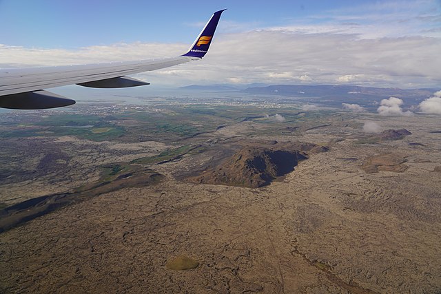
Volcano-tectonic landforms connected to rifting on Reykjanes Peninsula, Iceland: faults, fissures, elongated volcanoes of subglacial origin, postglacial lava fields


