River Cole, West Midlands
The River Cole is a 25 miles (40 km) river in the English Midlands. It rises on the lower slopes of Forhill, one of the south-western ramparts of the Birmingham Plateau, at Red Hill and flows south before flowing largely north-east across the plateau to enter the River Blythe below Coleshill, near Ladywalk, shortly before the Blythe meets the Tame. This then joins the Trent, whose waters reach the North Sea via the Humber Estuary. Its source is very near the main watershed of Midland England: tributaries are few and very short except in the lower reaches, so the Cole is only a small stream.
Coleshill, near the confluence with the Blythe
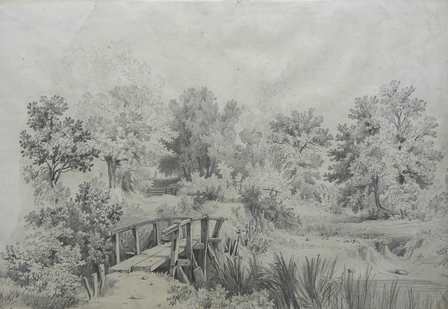
Wooden bridge over the Cole at Shirley, drawn in the 19th century by Samuel Rostill Lines.
Four Arches Bridge, near Cole Valley Road, Billesley
Sarehole Mill
River Tame, West Midlands
The River Tame is a river in the West Midlands of England, and one of the principal tributaries of the River Trent. The Tame is about 95 km (59 mi) long from the source at Oldbury to its confluence with the Trent near Alrewas, but the main river length of the entire catchment, i.e. the Tame and its main tributaries, is about 285 km (177 mi).
The Tame at Tamworth, which takes its name from the river.
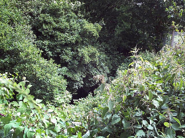
The Willenhall Arm, close to the source, among residential areas near Shepwell Green. The river is disclosed by the tiny area of reflection in the centre of the photograph - a small stream between overgrown banks, and almost inaccessible, although it forms the town's boundary.
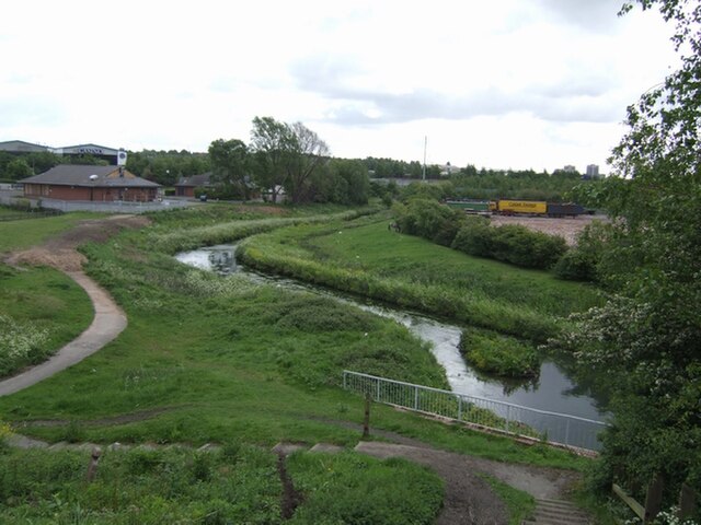
The Willenhall Arm at Bentley Green, Walsall, just after passing under the Black Country Route. Despite the appearance at this point it here enters an area of heavy industry.
The Willenhall branch south of the Anson Branch Canal, near the Bentley Mill entertainment and retail area.