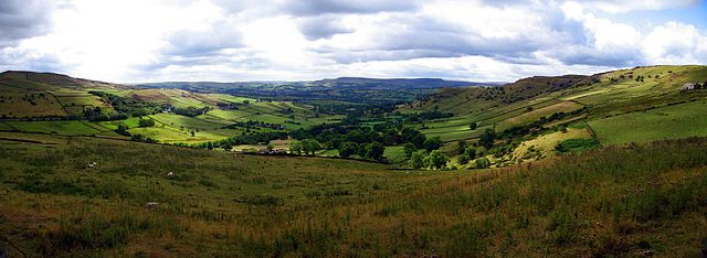
River Dove, central England
The River Dove is the principal river of the southwestern Peak District, in the Midlands of England, and is around 45 miles (72 km) in length. It rises on Axe Edge Moor near Buxton and flows generally south to its confluence with the River Trent at Newton Solney. From there, its waters reach the North Sea via the Humber Estuary. For almost its entire course it forms the boundary between the counties of Staffordshire and Derbyshire. The river meanders past Longnor and Hartington and cuts through a set of deep limestone gorges, Beresford Dale, Wolfscote Dale, Milldale and Dovedale.
The stepping stones over the River Dove, Dovedale
The River Dove at Dovedale
The traditional source of the River Dove (SK031684), nowadays usually dry
The River Dove at Milldale
The Peak District is an upland area in England, at the southern end of the Pennines. Mostly in Derbyshire, it extends into Cheshire, Greater Manchester, Staffordshire, West Yorkshire and South Yorkshire. It is subdivided into the Dark Peak, moorland dominated by gritstone, and the White Peak, a limestone area with valleys and gorges. The Dark Peak forms an arc on the north, east and west of the district, and the White Peak covers central and southern areas. The highest point is Kinder Scout. Most of the area is within the Peak District National Park, a protected landscape designated in 1951.
A view of Mam Tor
A High Peak panorama between Hayfield and Chinley
The Bugsworth Basin on the Peak Forest Canal
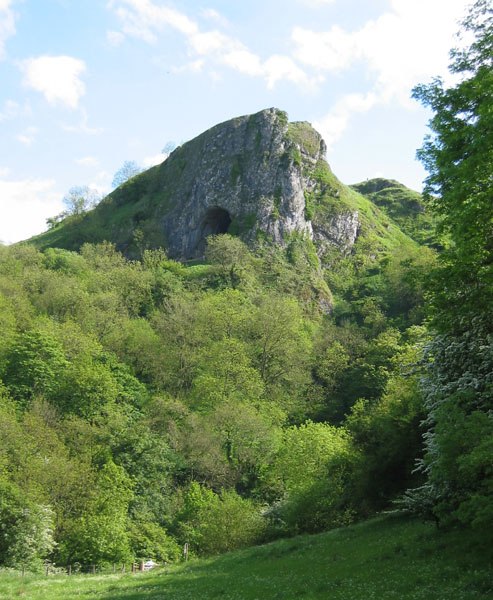
Thor's Cave seen from the Manifold Way


