Infinite photos and videos for every Wiki article · Find something interesting to watch in seconds
History
Page
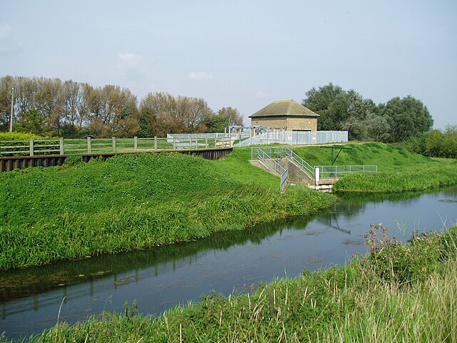
The pumping station at Tongue End, which marks the head of navigation, and the point at which the Bourne Eau joins the River Glen.
The East Glen river between Edenham and Lound
Surfleet Sluice, built in 1879, where the Glen meets the River Welland
The bend in the river at Guthram Gowt, where the junction with the proposed Fens Link will probably be located.
Page
Image: Oakham Market Place (geograph 7627324)
Image: Normanton Church   geograph.org.uk   2911781
Image: Normanton Church geograph.org.uk 2911781
Image: High Street East, Uppingham (geograph 3341980)
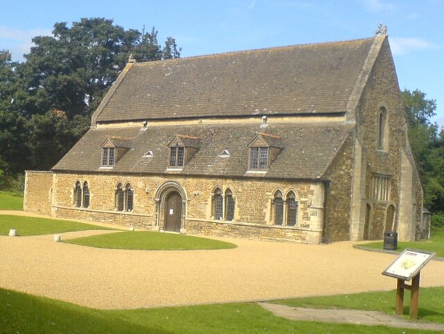
Oakham Castle
Oakham Castle