The River Nith is a river in south-west Scotland. The Nith rises in the Carsphairn hills of East Ayrshire, between Prickeny Hill and Enoch Hill, 4.4 miles (7.1 km) east of Dalmellington. For the majority of its 70 miles (110 km) course it flows in a south-easterly direction through Dumfries and Galloway and then into the Solway Firth at Airds Point.
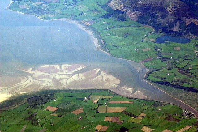
The estuary of the River Nith, opening into Solway Firth south of Dumfries
The Nith near Carron Bridge.
The Nith at Ellisland Farm.
Carsphairn and Scaur Hills
The Carsphairn and Scaur Hills are the western and eastern hills respectively of a hill range in the Southern Uplands of Scotland. Ordnance Survey maps don't have a general name for the hill area as a whole. Also, Ordnance Survey use "Scar" rather than the local spelling of "Scaur" - the word is pronounced as "Scar" however. In their Landranger Series of maps, it requires four separate sheets to cover the area.
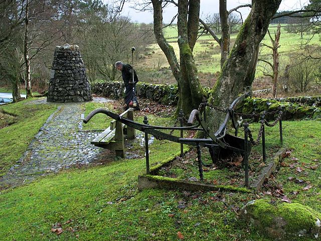
The Burns Cairn in Glen Afton. The inscription on the cairn says "Flow Gently Sweet Afton. Robert Burns 1759–1796. Erected by New Cumnock Burns Club (500) to mark its golden jubilee 1973."
Scaur Glen from Cloud Hill near Polgown on the Southern Upland Way - looking south east with Weltrees Hill on the left then Glenwhargen Craig. Cairnkinna is the dark silhouette beyond these on the skyline and Black Rig (catching the light) is in front of it. Peat Hill is the hill on the right of the picture. The post in the foreground is one of the SUW way markers
Looking south towards the River Nith at the point where it is joined by Afton Water just north of New Cumnock. The water entering from the bottom left of the picture is the River Nith and the water entering from the right is Afton Water. The hill in the background is Corsencon Hill (475 metres). Cumnock Castle stood on this site in the Middle Ages.
Looking east from Auchengibbert Hill with Tynron Doon in the right foreground with the valley of the River Nith (Nithsdale) beyond. The village of Penpont is in the near foreground with Thornhill in the middle distance and Queensberry Hill by the left edge of the picture. Wee Queensberry is the smaller hill to the right (south) of it).


