River Tees
Videos
The River Tees, in England, rises on the eastern slope of Cross Fell in the North Pennines and flows eastwards for 85 miles (137 km) to reach the North Sea in the North East of England. The modern day history of the river has been tied with the industries on Teesside in its lower reaches, where it has provided the means of import and export of goods to and from the North East England. The need for water further downstream also meant that reservoirs were built in the extreme upper reaches, such as Cow Green.

High Force on the River Tees

The confluence of the River Greta and the River Tees

The River Tees (Portrack Cut) passing through the Green-Blue Heart of the Tees Corridor between Middlesbrough and Stockton District.

Yarm Viaduct
Teesdale
Videos
Teesdale is a dale, or valley, located principally in County Durham, North East England. It is one of the Durham Dales, which are themselves part of the North Pennines, the northernmost part of the Pennine uplands.

View over Middleton in Teesdale
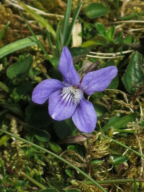
Teesdale violet