River Yarrow (Lancashire)
Videos
Page
The River Yarrow is in Lancashire, with its source at an area called Will Narr at Hordern Stoops, along Spitlers Edge - the Chorley/Blackburn boundary - on the West Pennine Moors. The river feeds the Yarrow Reservoir, which in turn feeds the Anglezarke and Upper and Lower Rivington Reservoirs. Upon leaving the reservoirs via a pumping station, the river passes through an area that was formerly known as Abyssinia. Currently, this area is within the boundaries of Heath Charnock and Limbrick, but the original name was given because it was a route frequented by coal miners, and the workers were said to look like natives of Abyssinia : until the mid 20th century it was usual for miners to return from work covered in coal dust.
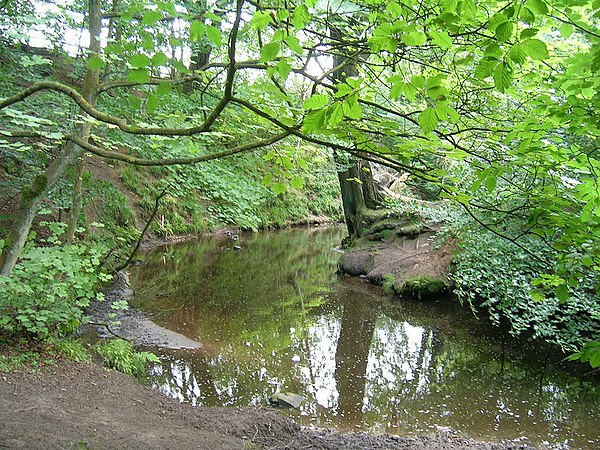
River Yarrow in Duxbury Woods

The source of the river at the base of Will Narr, Hordern Stoops, Lancashire. At the top of the picture are the slopes of Winter Hill
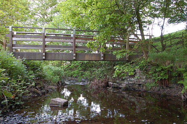
Black Brook - a tributary at White Coppice
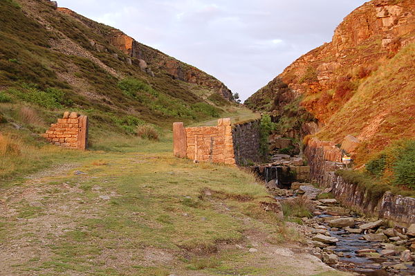
Shortly after departing the reservoirs, the river passes through an area of Chorley formerly known as Abyssinia
Chorley
Videos
Page
Chorley is a town and the administrative centre of the wider Borough of Chorley in Lancashire, England, 8 miles (13 km) north of Wigan, 11 miles (18 km) south west of Blackburn, 11 miles (18 km) north west of Bolton, 12 miles (19 km) south of Preston and 20 miles (32 km) north west of Manchester. The town's wealth came principally from the cotton industry.
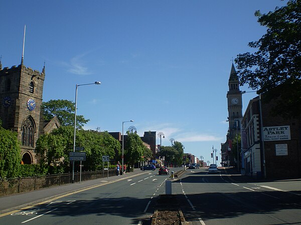
Entering Chorley town centre

Chorley Town Hall by the architects John Ladds and William Henry Powell (opened 1879)

St. Laurence's Church

Preston England Temple which serves the Latter-day Saint population of Northern England, Scotland and all Ireland