Roads and freeways in metropolitan Detroit
The Detroit metropolitan area in southeast Michigan is served by a comprehensive network of roads and highways. Three primary Interstate Highways pass through the region, along with three auxiliary Interstates, and multiple state and U.S. Highways. These are supplemented by the Mile Road System, a series of local roads spaced one mile apart on a perpendicular grid.
The point of origin in Campus Martius Park
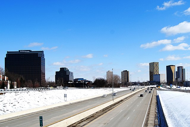
View of southbound lanes of Northwestern Highway in Metro Detroit passing beside John C. Lodge Freeway M‑10 which is sunken below street level in front of the Southfield Town Center
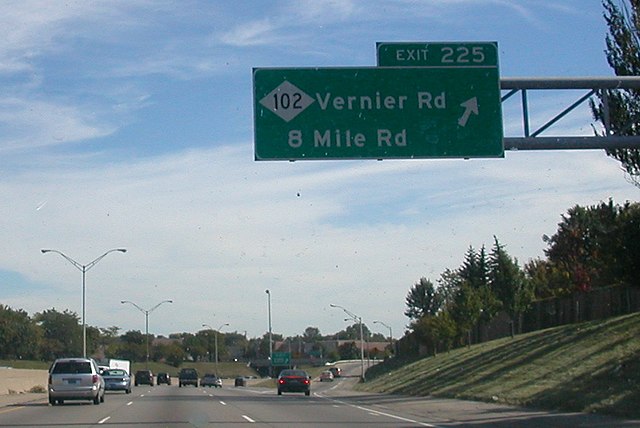
M-102 is an east–west state trunkline highway in the US state of Michigan that runs along the northern boundary of Detroit following 8 Mile Road. The highway follows the Michigan Baseline, a part of the land survey of the state, and the roadway is also called Base Line Road in places. As a county road or city street, 8 Mile Road extends both east and west of the M-102 designation, which leaves 8 Mile on the eastern end to follow Vernier Road. The western terminus of M-102 is at the junction of 8 Mile Road and M-5 and the opposite end is at Vernier Road and Interstate 94 (I-94). The 8 Mile Road name extends west to Pontiac Trail near South Lyon with a discontinuous segment located west of US Highway 23 (US 23). The eastern end of 8 Mile Road is in Grosse Pointe Woods, near I-94, with a short, discontinuous segment east of Mack Avenue.
8 Mile Road exit sign on I-75, at 7 Mile Road in Detroit
8 Mile Road exit off I-94