Roads in the United Kingdom
The United Kingdom has a well developed and extensive network of roads totalling about 262,300 miles (422,100 km). Road distances are shown in miles or yards and UK speed limits are indicated in miles per hour (mph) or by the use of the national speed limit (NSL) symbol. Some vehicle categories have various lower maximum limits enforced by speed limiters. A unified numbering system is in place for Great Britain, whilst in Northern Ireland, there is no available explanation for the allocation of road numbers.
Motorway M1 in Yorkshire is an example of an urban motorway.
Regional destinations, on the M5 motorway with South Wales, the Midlands and London in capitals, although London is a not a regional destination, therefore should not be in capitals
A typical roundabout sign on a primary road
The toll plaza on the M6 Toll at Great Wyrley
Road speed limits in the United Kingdom
Road speed limits in the United Kingdom are used to define the maximum legal speed for vehicles using public roads in the UK.
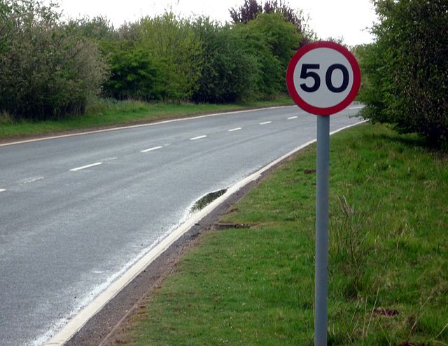
Speed limit sign on a single-carriageway road indicating a speed limit of 50 mph (80 km/h). The limits are posted on both sides of the road.
Sign at the Republic of Ireland–United Kingdom border indicating that limits in Northern Ireland (part of the United Kingdom) are given in miles per hour, unlike those in the Republic, which are given in km/h.
NSL sign on a single-track road implying a speed limit of 60 mph (96 km/h) or 50 mph (80 km/h) depending on vehicle type
Road sign used to mark the start of a 20 mph zone


