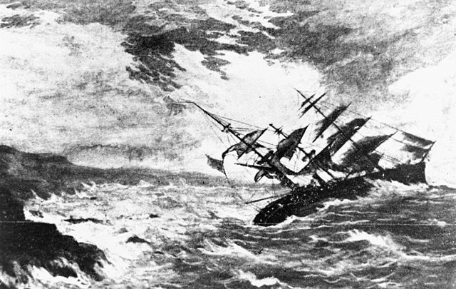
The Royal Charter was a steam clipper which was wrecked off the beach of Porth Helaeth in Dulas Bay on the northeast coast of Anglesey, Wales on 26 October 1859. About 450 lives were lost, the highest death toll of any shipwreck on the Welsh coast. The precise number of dead is uncertain as the complete passenger list was lost in the wreck, although an incomplete list is retained in the Victorian Archives Centre in Victoria, Australia. The Royal Charter was the most prominent among about 200 ships wrecked by the Royal Charter Storm.
The Royal Charter sank in an 1859 storm, stimulating the establishment of modern weather forecasting.
Scene of the shipwreck
St Gallgo's Church, showing graves. Black and white print on lithograph c. 1860.
The Royal Charter broke up on these rocks near Moelfre
Moelfre ( ) is a village, a community and, until 2012, an electoral ward on the north-east coast of the Isle of Anglesey in Wales. The community area covers the village and harbour, and several smaller, dispersed settlements. It includes six scheduled Iron Age hut groups and many other sites of archaeological interest. The harbour was formerly a local fishing port; a lifeboat station has been based here since 1854. Among many shipwrecks off the coast was that of the Royal Charter in 1859. Near the modernised lifeboat station is the RNLI Seawatch Centre. The coastline includes a rocky headland north of the village and a large sandy beach at Lligwy Bay, both traversed by the Anglesey Coastal Path. The 2011 census measured the village population as 710. It was estimated at 614 in 2019.
The harbour-front and seawall, circa 1966
Lligwy Burial Chamber 2
Part of the Din Lligwy hut group 9
The ruins of Lligwy Chapel 11


