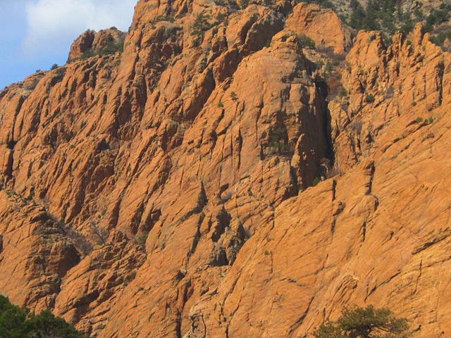
The Royal Gorge is a canyon of the Arkansas River located west of Cañon City, Colorado. The canyon begins at the mouth of Grape Creek, about 2 mi (3.2 km) west of central Cañon City, and continues in a west-northwesterly direction for approximately 6 mi (9.7 km) until ending near U.S. Route 50. Being one of the deepest canyons in Colorado, it is also known as the Grand Canyon of the Arkansas (River), with a maximum depth of 1,250 ft (380 m). The canyon is also very narrow, measuring from 50 ft (15 m) wide at its base to 300 ft (91 m) wide at its top, as it carves a path through the granite formations below Fremont Peak and YMCA Mountain, which rise above the north and south rims, respectively.
Royal Gorge
The wall of Royal Gorge
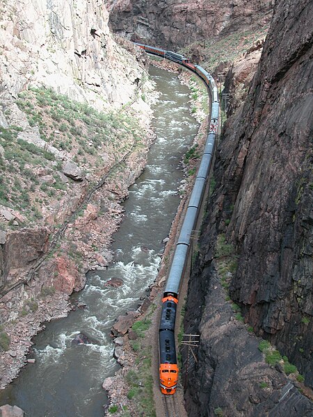
A view of the Royal Gorge Route Railroad
A view of the Royal Gorge Bridge, from below
A canyon, gorge or chasm, is a deep cleft between escarpments or cliffs resulting from weathering and the erosive activity of a river over geologic time scales. Rivers have a natural tendency to cut through underlying surfaces, eventually wearing away rock layers as sediments are removed downstream. A river bed will gradually reach a baseline elevation, which is the same elevation as the body of water into which the river drains. The processes of weathering and erosion will form canyons when the river's headwaters and estuary are at significantly different elevations, particularly through regions where softer rock layers are intermingled with harder layers more resistant to weathering.
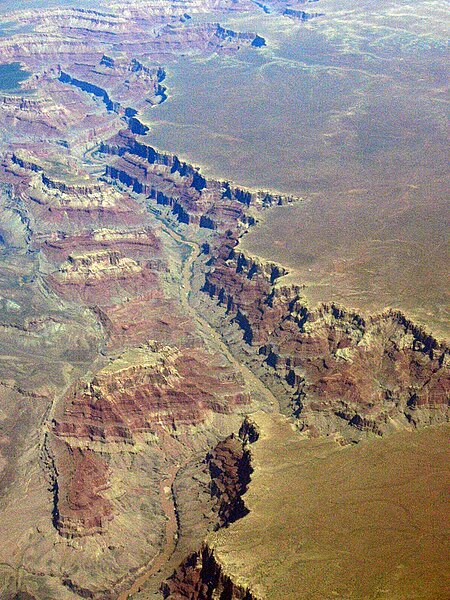
The Grand Canyon, Arizona, at the confluence of the Colorado River and Little Colorado River.
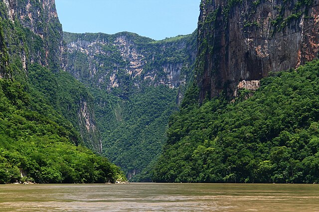
Sumidero Canyon, Mexico
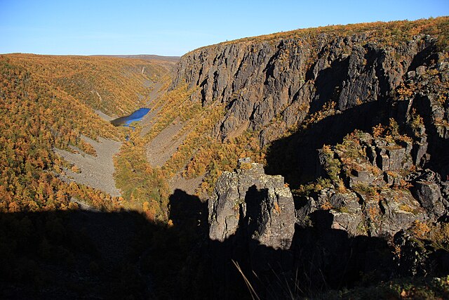
Kevo Canyon in Utsjoki, Finland
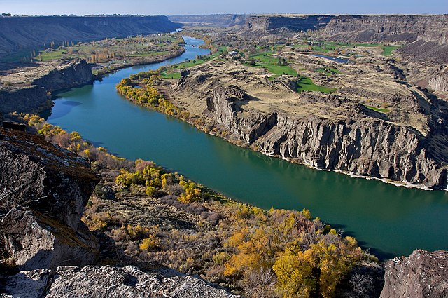
Snake River Canyon, Idaho