Royal Westminster Regiment
Videos
Page
The Royal Westminster Regiment is a Primary Reserve infantry regiment of the Canadian Army. It is currently part of the 3rd Canadian Division's 39 Canadian Brigade Group and is based in New Westminster, British Columbia, at The Armoury and at Colonel Roger Kenwood St. John, OMM, CD Armoury in Chilliwack, British Columbia.
The distinguishing patch of the 47th Battalion (British Columbia), CEF.
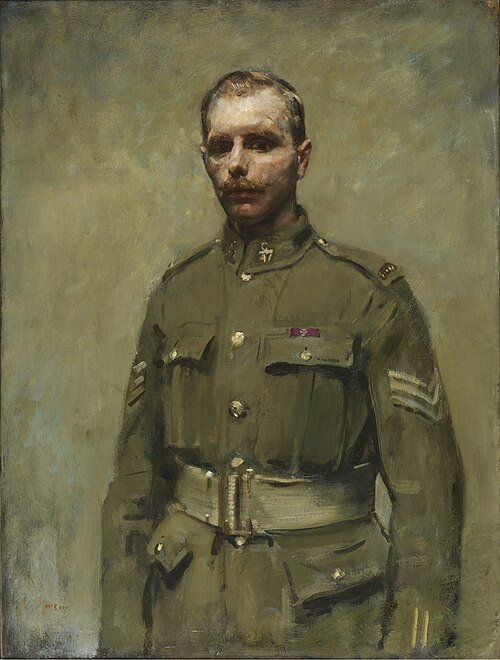
Sergeant Filip Konowal, VC, 47th Battilion, CEF
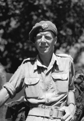
Major Jack Mahony, VC, OC "A" Coy, The Westminster Regiment (Motor) at the Battle of the Melfa River (Photo from The Royal Westminster Regiment)
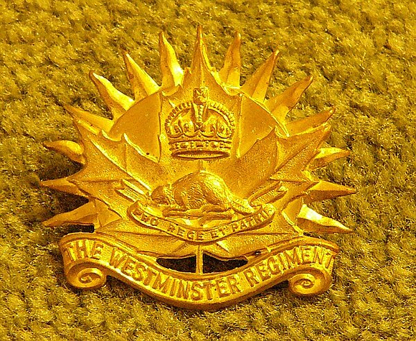
Hat badge of The Westminster Regiment, as worn during World War II
New Westminster
Videos
Page
New Westminster is a city in the Lower Mainland region of British Columbia, Canada, and a member municipality of the Metro Vancouver Regional District. It was founded by Major-General Richard Moody as the capital of the Colony of British Columbia in 1858 and continued in that role until the Mainland and Island colonies were merged in 1866. It was the British Columbia Mainland's largest city from that year until it was passed in population by Vancouver during the first decade of the 20th century.

Image: New Westminster (2024)
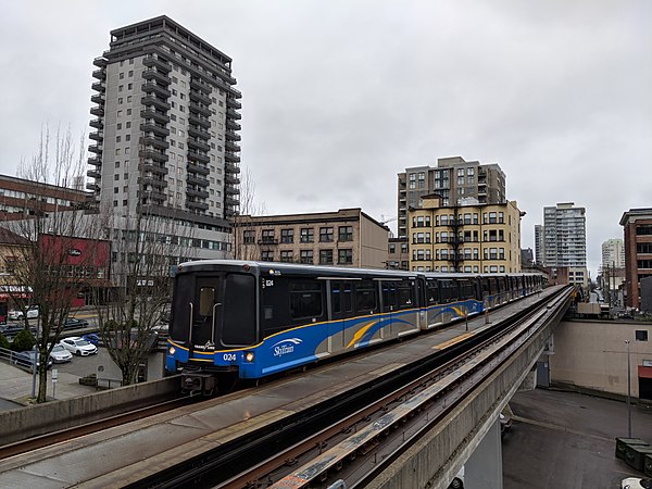
Image: Mark I Expo Line train, February 2018
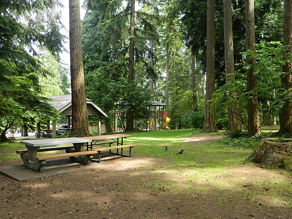
Image: Field in Queens Park, New Westminster panoramio

Image: Promenade (35426025)