Royal free city or free royal city was the official term for the most important cities in the Kingdom of Hungary from the late 12th century until the Hungarian Revolution of 1848. These cities were granted certain privileges by the king to rule out the possibility of the control of the Hungarian nobility, hence "royal", and exercised some self-government in relation to their internal affairs, hence "free". From the late 14th century, the elected envoys of the Royal free cities participated in the sessions of the Hungarian parliament, thus they became part of the legislature. The list include also cities in the Kingdom of Croatia and the Banate of Bosnia, which were part of the Lands of the Hungarian Crown.
Arad railway station
Rába at Győr
Kleinhöflein (Kishöflány) im Burgenland at the foot of the Leitha Mountains (Lajta-hegység)
Levoča (Lőcse) from Mariánska hora (Máriahegy)
The Diet of Hungary or originally: Parlamentum Publicum / Parlamentum Generale was the most important political assembly in Hungary since the 12th century, which emerged to the position of the supreme legislative institution in the Kingdom of Hungary from the 1290s, and in its successor states, Royal Hungary and the Habsburg kingdom of Hungary throughout the early modern period until the end of World War II. It was mainly held in big cities, traditionally in Pozsony, one of the most important Hungarian cities. The name of the legislative body was originally "Parlamentum" during the Middle Ages, the "Diet" expression gained mostly in the early modern period. It convened at regular intervals with interruptions from the 12th century to 1918, and again until 1946.
Diet of Hungary of 1830
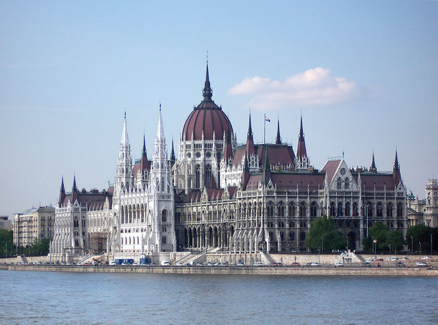
Since 1902 the diet has been assembling in the Hungarian Parliament Building in Budapest
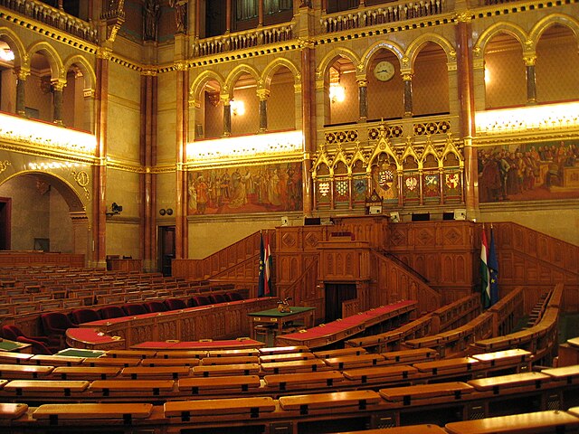
Assembly hall of the House of Magnates
Assembly hall of the House of Representatives