Rudrapur is a city that serves as the headquarters of the Udham Singh Nagar district in the Indian state of Uttarakhand. Located at a distance of about 250 km (160 mi) northeast of New Delhi and 250 km (160 mi) south of Dehradun, Rudrapur is located in the fertile Terai plains in the southern part of Kumaon division over an area of 27.65 km2. With a population of 140,857 according to the 2011 census of India, it is the 5th most populous city of Uttarakhand.
Seal
Image: Radisson, rudrapur 2015
Image: Atariya temple, rudrapur
Image: Millenium park portrait
Udham Singh Nagar is a district of Uttarakhand state in northern India. Rudrapur is the district headquarter. The district consists of nine Tehsils named Bajpur, Gadarpur, Jaspur, Kashipur, Khatima, Kichha, Nanakmatta, Rudrapur, Sitarganj. The district is located in the Terai region, and is part of Kumaon Division. It is bounded on the north by Nainital District, on the northeast by Champawat District, on the east by Nepal, and on the south and west by Bareilly, Rampur, Moradabad, Pilibhit and Bijnor District of Uttar Pradesh state. The district was created on 29 September 1995, by Mayawati government out of Nainital District. It is named for freedom fighter and Indian revolutionary Udham Singh.
Image: The ruins of Temple by the Pandava's in Kashipur
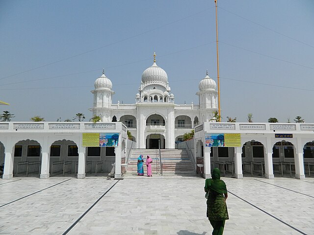
Image: Nankana sahib, kashipur (3)
Image: Metropolis city rudrapur (2)
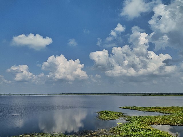
Image: Baigul Dam Lake 01


