The Rural City of Mildura is a local government area in Victoria, Australia, located in the north-western part of the state. It covers an area of 22,083 square kilometres (8,526 sq mi) being the largest LGA in the state. In August 2021 the area had a population of 56,972. It includes the city of Mildura and the towns of Merbein, Red Cliffs, Irymple, Ouyen, Werrimull, Murrayville, Walpeup and Hattah. It was formed in 1995 from the amalgamation of the City of Mildura, Shire of Mildura and Shire of Walpeup.
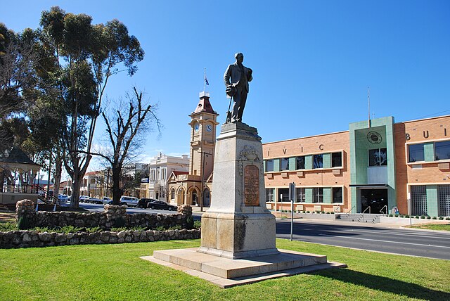
Civic Buildings, 2009
Mildura is a regional city in north-west Victoria, Australia. Located on the Victorian side of the Murray River, Mildura had a population of 34,565 in 2021. When nearby Wentworth, Irymple, Nichols Point, Merbein and Red Cliffs are included, the combined urban area had a population of 58,914 in 2021, having grown marginally at an average annual rate of 1.3% year-on-year over the preceding five years.
Langtree Avenue, Mildura
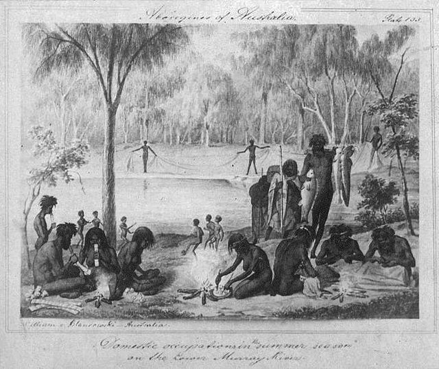
William Blandowski's 1857 depiction of Jarijari (Nyeri Nyeri) people including men hunting, women cooking and children playing near Merbein, Victoria. A form of kick and catch football is apparently being played in the background.
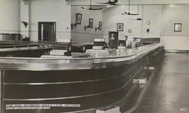
The bar of the Mildura Working Man's Club was noted in the Guinness Book of Records as the longest bar in the world until 1995 when it was removed during renovations.
Langtree Avenue, 1950