The Ruta Panorámica, officially the Ruta Panorámica Luis Muñoz Marín, is a 167-mile (269 km) network of some 40 secondary roads which traverse the island of Puerto Rico from west to east along its Cordillera Central. Most of the route consists of three roads, PR-105, PR-143, and PR-182. The route starts in Mayagüez and ends in Maunabo. The first major segment of the route runs from Mayagüez to Maricao as Route 105, then from Adjuntas to Aibonito as Route 143, and then follows Route 182 toward Maunabo.
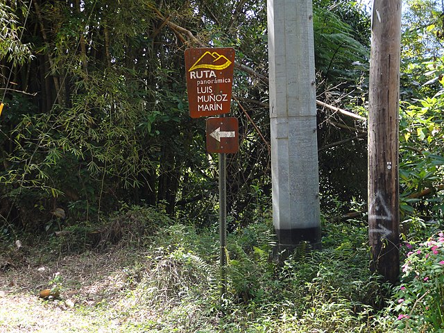
A sign on westbound PR-143 in Barrio Ala de la Piedra, Orocovis, pointing out Ruta Panorámica near PR-149
The Ruta Panorámica in Collores, Juana Díaz
View from Cerro Las Mesas Natural Protected Area (CLMNPA) in Mayagüez
Puerto Rico Highway 143 (PR-143) is a secondary highway that connects the town of Adjuntas to the town of Barranquitas.
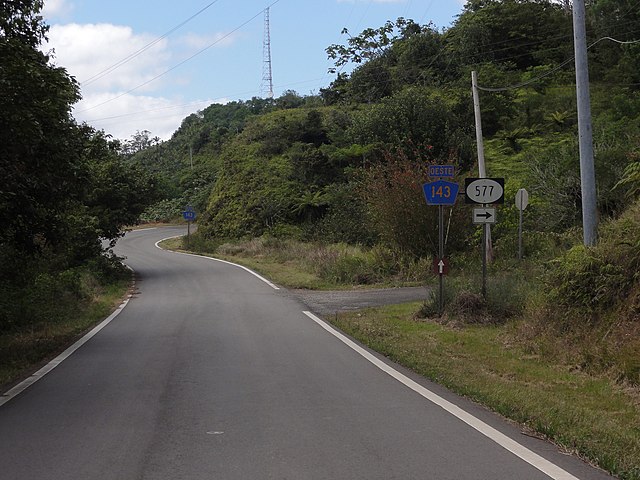
A scene on PR-143 westbound in Barrio Anón, Ponce, Puerto Rico
A sign on westbound PR-143 in Barrio Ala de la Piedra, Orocovis, Puerto Rico, pointing out Ruta Panorámica near PR-149
View of the southern coast of Puerto Rico from PR-143
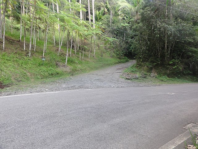
North entrance of Camino El Bolo trail of Toro Negro State Forest at PR-143 in Orocovis