São Jorge is an island in the central group of the Azores archipelago and part of the autonomous region of Portugal. Separated from its nearest neighbours by the 15-kilometre (9.3 mi) Pico-São Jorge Channel, the central group is often referred colloquially as part of the Triângulo ("Triangle") group or just "The Triangle". São Jorge is a relatively long thin island with tall cliffs, whose 8,381 inhabitants are concentrated on various geological debris fields (fajãs) along the north and south coasts; from east to west, the island is 53 kilometres (33 mi) long and, north to south, 8 kilometres (5.0 mi) wide: its area is 237.59 square kilometres (91.73 sq mi).
The island of São Jorge seen from the north-northwest coast along the Ponta dos Rosais, Rosais
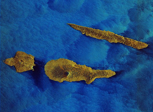
Radar image of São Jorge Island (top) next to Pico and Faial islands
Matrix Church of Nossa Senhora do Rosário, Topo. Built in the 16th century, it is one of the earliest churches on the island of São Jorge
Old windmill, Morro das Velas
The Azores, officially the Autonomous Region of the Azores, is one of the two autonomous regions of Portugal. It is an archipelago composed of nine volcanic islands in the Macaronesia region of the North Atlantic Ocean, about 1,400 km (870 mi) west of Lisbon, about 1,500 km (930 mi) northwest of Morocco, and about 1,930 km (1,200 mi) southeast of Newfoundland, Canada.
Gaspar Frutuoso wrote Saudades da Terra, the first history of the Azores and Macaronesia, in the 1580s.
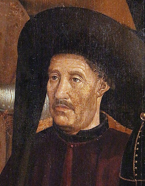
Under the direction of Prince Henry the Navigator, the Azores were discovered and populated in the early 1400s.
The Battle of Terceira, part of the War of the Portuguese Succession
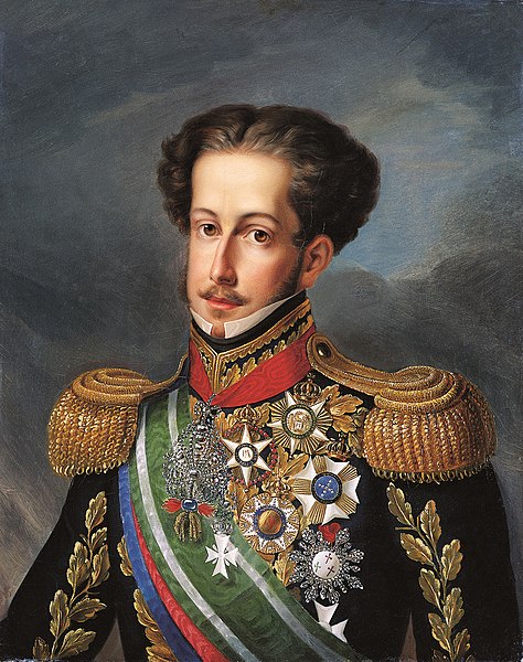
King-Emperor Pedro IV & I planned and launched his campaign in the Liberal Wars from the Azores in name of his daughter Queen Maria II