Saint Anthony Falls, or the Falls of Saint Anthony, located at the northeastern edge of downtown Minneapolis, Minnesota, is the only natural major waterfall on the Mississippi River. Throughout the mid-to-late 1800s, various dams were built atop the east and west faces of the falls to support the milling industry that spurred the growth of the city of Minneapolis. In 1880, the central face of the falls was reinforced with a sloping timber apron to stop the upstream erosion of the falls. In the 1950s, the apron was rebuilt with concrete, which makes up the most visible portion of the falls today. A series of locks were constructed in the 1950s and 1960s to extend navigation to points upstream.
Saint Anthony Falls with the upper lock and dam, viewed from downstream
In winter
Albert Bierstadt painted The Falls of St. Anthony in 1880, creating an artist's impression of how the falls looked prior to industrialization.
Stereoscopic photograph of the suspension bridge connecting St. Anthony and Minneapolis
Minneapolis, officially the City of Minneapolis, is a city in and the county seat of Hennepin County, Minnesota, United States. With a population of 429,954, it is the state's most populous city as of the 2020 census. It occupies both banks of the Mississippi River and adjoins Saint Paul, the state capital of Minnesota. Minneapolis, Saint Paul, and the surrounding area are collectively known as the Twin Cities, a metropolitan area with 3.69 million residents. Minneapolis is built on an artesian aquifer on flat terrain, and is known for cold, snowy winters and hot, humid summers. Nicknamed the "City of Lakes", Minneapolis is abundant in water, with thirteen lakes, wetlands, the Mississippi River, creeks, and waterfalls. The city's public park system is connected by the Grand Rounds National Scenic Byway.
Image: Minneapolis Skyline looking south
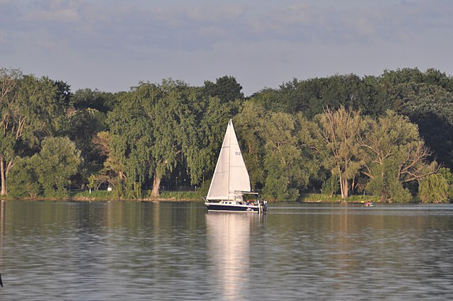
Image: Lake Nokomis 20210531
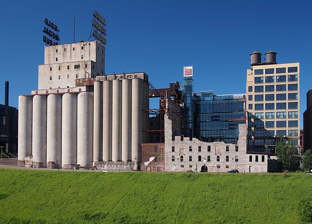
Image: Washburn A Mill 2014
Image: First Avenue


