Salinas River (California)
The Salinas River is the longest river of the Central Coast region of California, running 175 miles (282 km) and draining 4,160 square miles (10,800 km2). It flows north-northwest and drains the Salinas Valley that slices through the central California Coast Ranges south of Monterey Bay. The river begins in southern San Luis Obispo County, originating in the Los Machos Hills of the Los Padres National Forest. From there, the river flows north into Monterey County, eventually making its way to connect with the Monterey Bay, part of the Pacific Ocean, approximately 5 miles (8.0 km) south of Moss Landing. The river is a wildlife corridor, and provides the principal source of water from its reservoirs and tributaries for the farms and vineyards of the valley.
View of the Salinas River near San Ardo in May 2008. During the rainier winter months, the river may occasionally reconnect with Monterey Bay. The San Ardo Oil Field is visible in the distance.
North American beaver have colonized the upper Salinas River watershed, as shown by this beaver dam 16 miles (26 km) upstream of Atascadero below the Salinas River dam. Courtesy of Stuart Suplick, 2019.
Salinas Dam, near the headwaters of the river
The Rumsen language is one of eight Ohlone languages, historically spoken by the Rumsen people of Northern California. The Rumsen language was spoken from the Pajaro River to Point Sur, and on the lower courses of the Pajaro, as well as on the Salinas and Carmel Rivers, and the region of the present-day cities of Salinas, Monterey and Carmel.
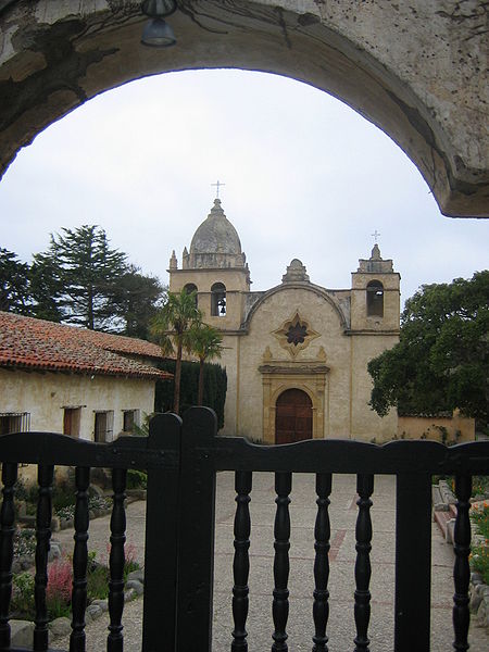
Mission San Carlos Borroméo de Carmelo, where many Rumsen were brought to live in the Mission Era.