The San Bernardino Valley is a valley in Southern California located at the south base of the Transverse Ranges. It is bordered on the north by the eastern San Gabriel Mountains and the San Bernardino Mountains; on the east by the San Jacinto Mountains; on the south by the Temescal Mountains and Santa Ana Mountains; and on the west by the Pomona Valley. Elevation varies from 590 feet (180 m) on valley floors near Chino to 1,380 feet (420 m) near San Bernardino and Redlands. The valley floor is home to over 80% of the more than 4 million people in the Inland Empire region.
An elevated view of San Bernardino Valley, looking southwest toward the Santa Ana Mountains and South Coast beyond
Panorama of the San Bernardino Valley in 1909.
Occasional January snowfall in the eastern San Bernardino Valley, Shandin Hills are visible in the background.
Junction of the San Gabriel and San Bernardino Mountains. The I-210 (Foothill Freeway) runs parallel, I-215 intersects leading to the Cajon Pass.
The Transverse Ranges are a group of mountain ranges of southern California, in the Pacific Coast Ranges physiographic region in North America. The Transverse Ranges begin at the southern end of the California Coast Ranges and lie within Santa Barbara, Ventura, Los Angeles, San Bernardino, Riverside and Kern counties. The Peninsular Ranges lie to the south. The name Transverse Ranges is due to their east–west orientation, making them transverse to the general northwest–southeast orientation of most of California's coastal mountains.
The Ranges rise steeply above major urban areas such as Los Angeles
Snowy Mt. Baden-Powell in the San Gabriel Mountains
View west of the eastern portion of the San Bernardino and San Gabriel Mountains, with the Mojave Desert on the right and Silverwood Lake near the boundary. The San Andreas Fault runs straight up the middle toward the horizon.
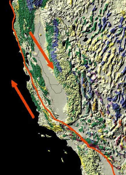
The San Andreas Fault trends more east-west where it cuts through the Transverse Ranges.


