The San Francisco Bay Trail is a bicycle and pedestrian trail that when finished will allow continuous travel around the shoreline of San Francisco Bay. As of 2020, 356 miles (573 km) of the trail have been completed. When finished, the trail will be over 500 miles (800 km) of paved and gravel paths, bike lanes, and sidewalks, linking 47 cities across nine counties and crossing seven toll bridges. It is a project of the Association of Bay Area Governments (ABAG) and the Metropolitan Transportation Commission (MTC), in collaboration with other agencies, private companies, non-profit organizations, and advocacy groups.
San Francisco Bay Trail in Hayward Regional Shoreline showing trail marker
Bay Trail plaque, Embarcadero, SF
The Carquinez Strait in Benicia State Recreation Area
The path in Tiburon with view of Mount Tamalpais
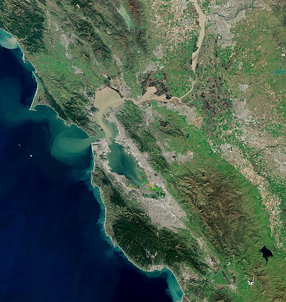
San Francisco Bay is a large tidal estuary in the U.S. state of California, and gives its name to the San Francisco Bay Area. It is dominated by the cities of San Francisco, San Jose, and Oakland.
San Francisco Bay
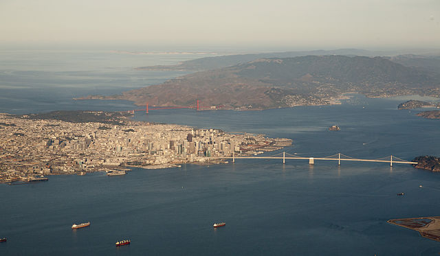
Aerial panorama of the northern Bay, the Bay Bridge, Golden Gate, and Marin Headlands on a clear morning. November 2014 photo by Doc Searls.
Panorama of San Francisco Bay, and the city skyline seen from Marin County in the Golden Gate National Recreation Area
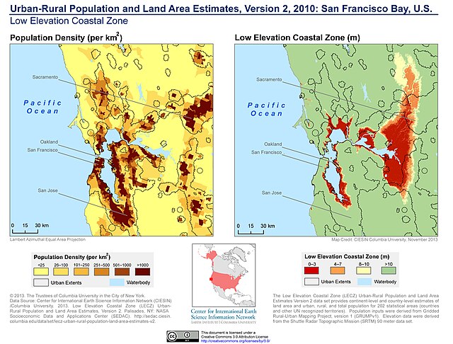
Population density and low elevation coastal zones in San Francisco Bay (2010). The San Francisco Bay is especially vulnerable to sea level rise.


