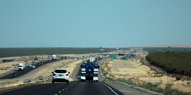
The San Joaquin Valley is the southern half of California's Central Valley. Famed as a major breadbasket, the San Joaquin Valley is an important source of food, producing a significant part of California's agricultural output.
San Joaquin Valley
Millerton Lake, supplied by the Madera Canal and Friant-Kern Canal.
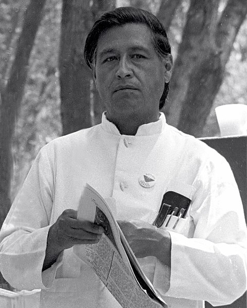
César Chávez at a United Farmworkers rally, 1974
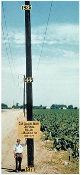
Signs on pole show approximate altitude of land surface in 1925, 1955, and 1977
Central Valley (California)
The Central Valley is a broad, elongated, flat valley that dominates the interior of California. It is 40–60 mi (60–100 km) wide and runs approximately 450 mi (720 km) from north-northwest to south-southeast, inland from and parallel to the Pacific coast of the state. It covers approximately 18,000 sq mi (47,000 km2), about 11% of California's land area. The valley is bounded by the Coast Ranges to the west and the Sierra Nevada to the east.
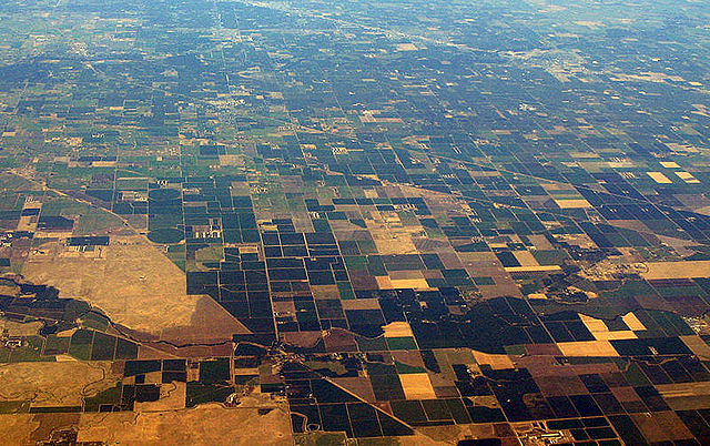
Farmland of the Central Valley as seen from the air
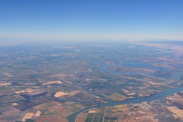
The Central Valley from the air, looking south from near Rio Vista, CA.
The valley as seen from Interstate 5, looking south near Derrick Avenue in Fresno County
An example of the differences between the geology of the valley floor and that of the rugged hills of the Coast Ranges (Between Tracy and Patterson, CA:Interstate 5)


