San Mateo Mountains (Socorro County, New Mexico)
The San Mateo Mountains are a mountain range in Socorro County, in west-central New Mexico in the southwestern United States. The highest point in the range is West Blue Mountain, at 10,336 ft. The range runs roughly north–south and is about 40 miles (64 km) long. It lies about 25 miles (40 km) north-northwest of the town of Truth or Consequences and about 30 miles (48 km) southwest of Socorro. They should not be confused with the identically named range in Cibola and McKinley counties, north of this range.
The San Mateo Mountains, just southeast of the Withington Wilderness Area.
A view from the San Mateo Mountains.
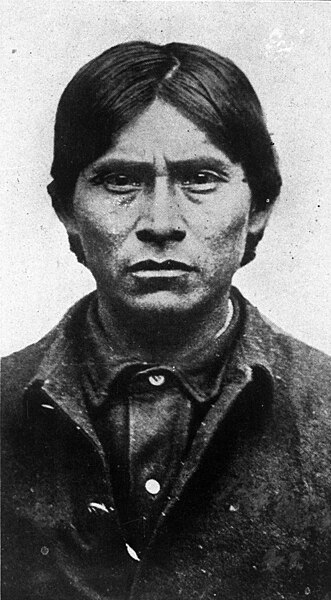
The Apache Kid is the namesake for the Wilderness area in the San Mateos.
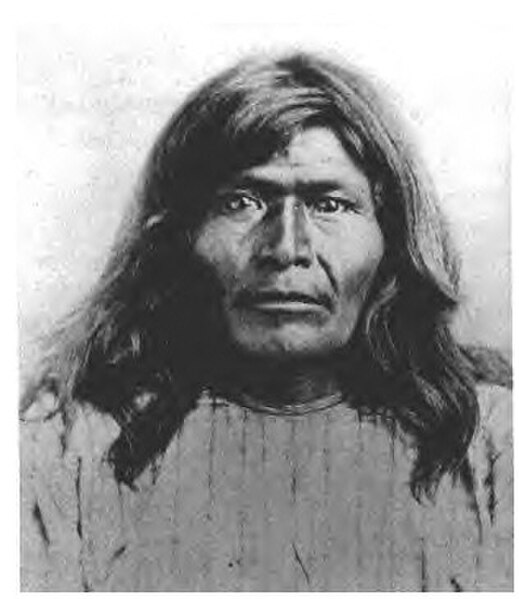
Vic's Peak in the San Mateo Mountains is named for Victorio, an Apache warrior and chief.
Socorro County, New Mexico
Socorro County is a county in the U.S. state of New Mexico. As of the 2020 census, the population was 16,595. The county seat is Socorro. The county was formed in 1852 as one of the original nine counties of New Mexico Territory. Socorro was originally the name given to a Native American village by Don Juan de Oñate in 1598. Having received vitally needed food and assistance from the native population, Oñate named the pueblo Socorro.
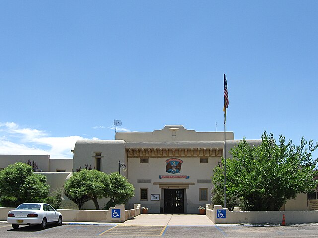
Socorro County Courthouse in Socorro
The view from the southern San Mateo Mountains in Socorro County, New Mexico.
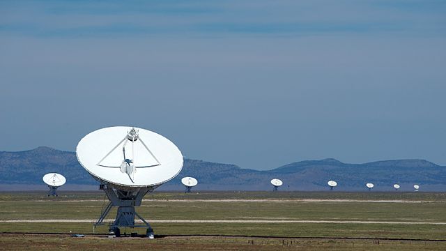
The Karl G. Jansky Very Large Array in Socorro County.
The Apache Kid is the namesake for a Wilderness area in the Cibola National Forest.


