San Nicolas is one of the sixteen districts in the city of Manila in the Philippines. It is located at the west central part of the city, on the northern bank of the Pasig River bounded by the districts of Binondo to the east by Estero de Binondo, and Tondo to the north and west, and by the Pasig River to the south. Considered as a heritage district of Manila, this community has kept its 19th-century ancestral houses, which symbolizes the wealthy lives of the people who used to live there, similar to the ancestral houses of Silay and Vigan.
View of the skyline of San Nicolas (left) and Binondo (right), taken from Fort Santiago, Manila
Ancestral house
Ancestral house
Ancestral house
The Pasig River is a water body in the Philippines that connects Laguna de Bay to Manila Bay. Stretching for 25.2 kilometers (15.7 mi), it bisects the Philippine capital of Manila and its surrounding urban area into northern and southern halves. Its major tributaries are the Marikina River and San Juan River. The total drainage basin of the Pasig River, including the basin of Laguna de Bay, covers 4,678 square kilometers (1,806 sq mi).
View of Pasig River in Manila
Casco barges, steamers, and other sailing vessels in Pasig in 1917
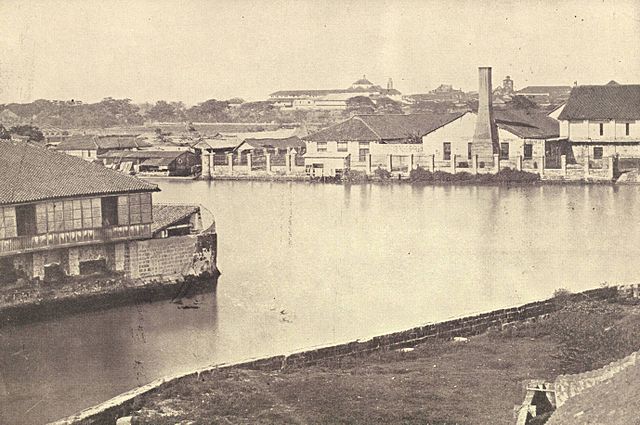
The Pasig River in 1899
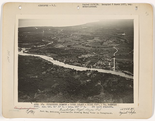
Aerial view of Fort William McKinley and the Pasig River, c. 1930s