The Santa Ana River is the largest river entirely within Southern California in the United States. It rises in the San Bernardino Mountains and flows for most of its length through San Bernardino and Riverside counties, before cutting through the northern Santa Ana Mountains via Santa Ana Canyon and flowing southwest through urban Orange County to drain into the Pacific Ocean. The Santa Ana River is 96 miles (154 km) long, and its drainage basin is 2,650 square miles (6,900 km2) in size.
The Santa Ana River as seen from a small bluff overlooking the water. This part of the river serves as the border between Eastvale and Norco
Mill Creek (pictured) is one of the main headwaters tributaries of the Santa Ana River.
The channeled mouth of the Santa Ana River between Huntington Beach and Newport Beach
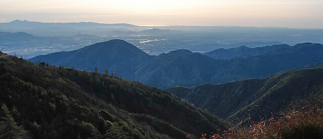
The Transverse Ranges were formed by uplift along the San Andreas Fault. Santa Ana Canyon is between the first and second ridges and Big Bear Lake is in the background.
The San Bernardino Mountains are a high and rugged mountain range in Southern California in the United States. Situated north and northeast of San Bernardino and spanning two California counties, the range tops out at 11,503 feet (3,506 m) at San Gorgonio Mountain – the tallest peak in Southern California. The San Bernardinos form a significant region of wilderness and are popular for hiking and skiing.
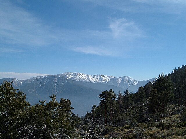
The San Bernardinos seen from near Sugarloaf Mountain
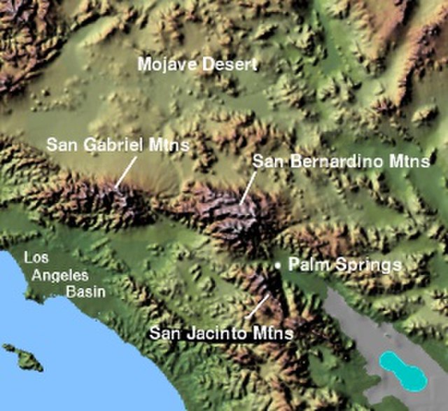
Image: Wpdms shdrlfi 020l san bernardino mountains
The range seen looking south from the Big Bear Valley
The mountains are named for the San Bernardino Valley, in turn named by the Spanish in 1810


