Santa Catalina Island is a rocky island off the coast of Southern California in the Gulf of Santa Catalina. The island covers an area of about 75 square miles. It features a diverse and rugged landscape, including rolling hills, canyons, coastal cliffs, and sandy beaches. The island's highest peak is Mount Orizaba, rising to an elevation of 2,097 feet. The island is 22 mi long and 8 mi across at its largest width. The island is situated in the Pacific Ocean, approximately 29 mi south-southwest of Long Beach, California. Politically, Catalina Island is part of Los Angeles County in District 4. Most of the island's land is unincorporated and is thus governed by the county.

Santa Catalina Island satellite image

Ti'at are plank boats still constructed by the Tongva to travel from the mainland to Pimu (Santa Catalina Island) similar to the Chumash tomol (pictured).

Juan Rodríguez Cabrillo

Tourists enjoying the waters off Catalina in 1889
San Pedro, Los Angeles
Videos
San Pedro is a neighborhood located within the South Bay and Harbor region of the City of Los Angeles, California, United States. Formerly a separate city, it consolidated with Los Angeles in 1909. The Port of Los Angeles, a major international seaport, is partially located within San Pedro. The district has grown from being dominated by the fishing industry, to a working-class community within the city of Los Angeles, to an increasingly dense and diverse community.

The historic Harbor View House
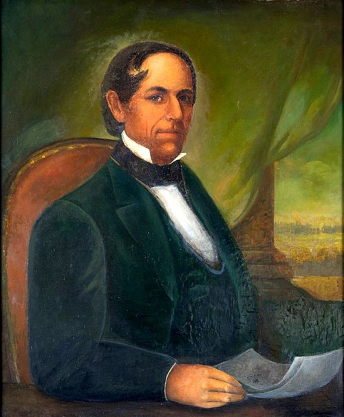
Don Manuel Domínguez, a Californio politician, signer of the California Constitution and owner of Rancho San Pedro helped found the settlement at San Pedro, then a small fishing village.

USS Nevada, port of call at San Pedro, 1934