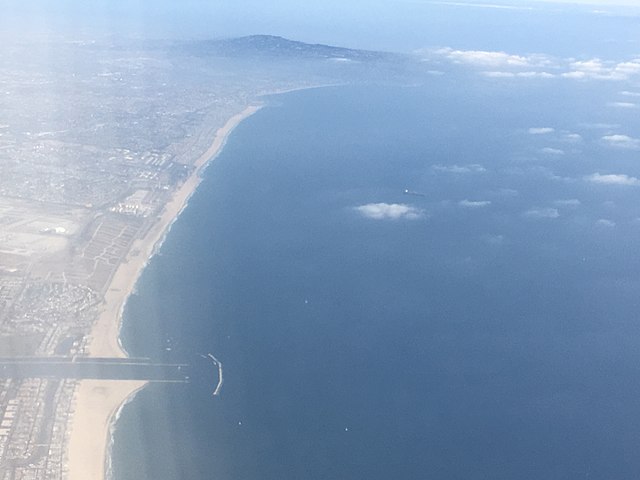
Santa Monica Bay is a bight of the Pacific Ocean in Southern California, United States. Its boundaries are slightly ambiguous, but it is generally considered to be the part of the Pacific within an imaginary line drawn between Point Dume, in Malibu, and the Palos Verdes Peninsula. Its eastern shore forms the western boundary of the Los Angeles Westside and South Bay regions. Although it was fed by the Los Angeles River until the river's catastrophic change of course in 1825, the only stream of any size now flowing into it is Ballona Creek. Smaller waterways draining into the bay include Malibu Creek, Topanga Creek, and Santa Monica Creek.
Santa Monica Bay, aerial view
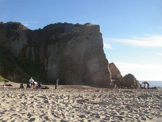
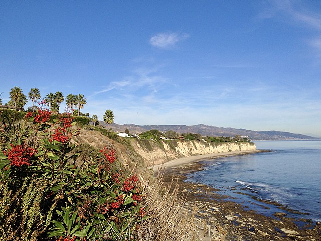
Point Dume is a promontory on the coast of Malibu, California that juts out into the Pacific Ocean. The point, a long bluff, forms the northern end of the Santa Monica Bay. Point Dume Natural Area affords a vista of the Palos Verdes Peninsula and Santa Catalina Island. Zuma Beach lies to its immediate northwest.
Point Dume
cliff at Point Dume State Beach, captured on 13 April, 2023 by California and Texas photographer Cecily Breeding
Point Dume viewed from the northwest on Zuma Beach.
View north from the bluffs at Point Dume State Beach, California


