Seal Slough, also known as Marina Lagoon, is a narrow winding tidal channel through a tidal marsh in San Mateo and Foster City, California. This slough has been the object of a wetland restoration project in recent years to enhance habitat value. Dredging has been carried out in Seal Slough since at least 1954. When the original sewage treatment plant for the city of San Mateo was constructed in 1935, its discharge was directed to Seal Slough.
In this aerial view, facing northwest, serpentine Seal Slough separates San Mateo (west of the Slough, bottom 1⁄4) and Foster City (east, upper 3⁄4; the bridges crossing the Slough carry Fashion Island Blvd and SR 92 at center, and Hillsdale Blvd at right.
Panorama at the mouth of Seal Slough (2022); road bridges are in the background and construction cranes on the left are being used during the reconstruction of the city wastewater treatment plant.
Waterfront homes in Foster City along Seal Slough, from Parkside Aquatic Park in San Mateo (2022)
San Mateo is a city in San Mateo County, California, United States, on the San Francisco Peninsula. About 20 miles (32 km) south of San Francisco, the city borders Burlingame to the north, Hillsborough to the west, San Francisco Bay and Foster City to the east and Belmont to the south. The population was 105,661 at the 2020 census.
Image: MCB san mateo aerial (cropped)
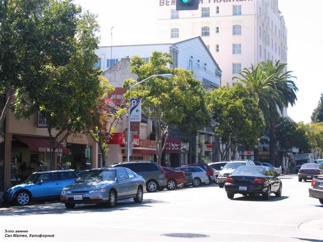
Image: San Mateo, California Third Avenue
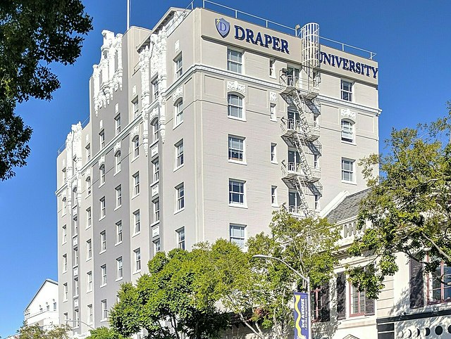
Image: Draper University and Hero City, San Mateo (42421469721) (cropped)
Image: Downtown San Mateo (3297603005) (cropped)