The Sepulveda Dam is a dry dam constructed by the U.S. Army Corps of Engineers to withhold winter flood waters along the Los Angeles River. Completed in 1941, at a cost of $6,650,561, it is located south of center in the San Fernando Valley, approximately eight miles (13 km) east of the river's source in the western end of the Valley, in Los Angeles, California.
Sepulveda Dam
Looking upstream in the outlet channel. Form work has been stripped from the outlet control tower and service bridge and one of the outlet control slide gate frames is being lowered into position for installation.
Westerly view along the top of the spillway showing the completed service bridge and handrails.
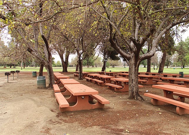
Woodley Park group picnic area.
The Los Angeles River, historically known as Paayme Paxaayt by the Tongva and the Río Porciúncula by the Spanish, is a major river in Los Angeles County, California. Its headwaters are in the Simi Hills and Santa Susana Mountains, and it flows nearly 51 miles (82 km) from Canoga Park through the San Fernando Valley, Downtown Los Angeles, and the Gateway Cities to its mouth in Long Beach, where it flows into San Pedro Bay. While the river was once free-flowing and frequently flooding, forming alluvial flood plains along its banks, it is currently notable for flowing through a concrete channel on a fixed course, which was built after a series of devastating floods in the early 20th century.
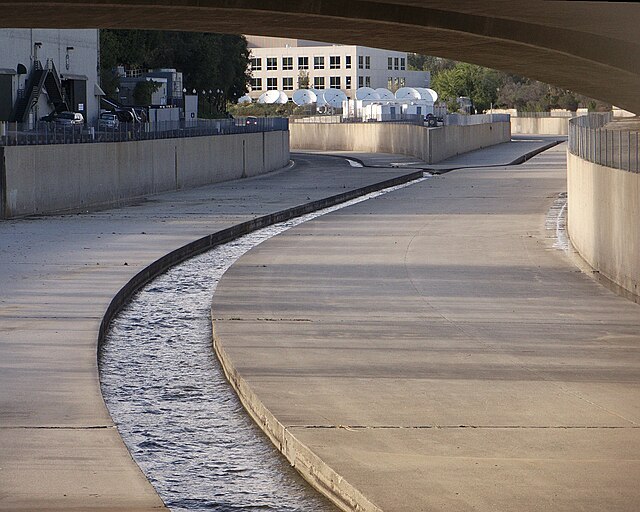
L.A. River from Fletcher Drive Bridge
The Arroyo Calabasas (left) and Bell Creek (right) join to form the Los Angeles River
LA River near downtown LA during drought in 2014
Receiving the Tujunga Wash (right) in Studio City.


