The Sevier River is a 400-mile (640 km)-long river in the Great Basin of southwestern Utah in the United States. Originating west of Bryce Canyon National Park, the river flows north through a chain of high farming valleys and steep canyons along the west side of the Sevier Plateau before turning southwest and terminating in the endorheic basin of Sevier Lake in the Sevier Desert. It is used extensively for irrigation along its course, with the consequence that Sevier Lake is usually dry.
The Sevier River in Marysvale Canyon
The upper Sevier River in winter, near Circleville, Beaver County
Aerial view of the Little Sahara sand dunes, which were formed from Sevier River sediments carried by wind.
Riparian habitat along the Lower Sevier River near Leamington, Millard County
Bryce Canyon National Park
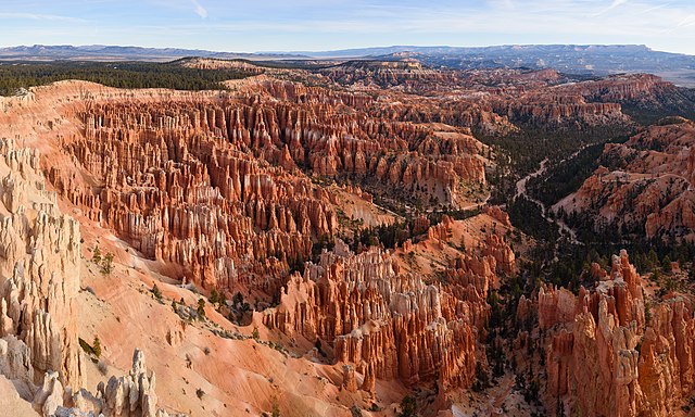
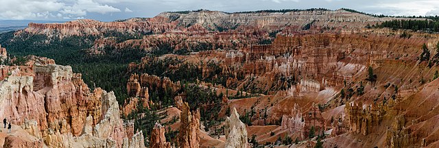
Bryce Canyon National Park is an American national park located in southwestern Utah. The major feature of the park is Bryce Canyon, which despite its name, is not a canyon, but a collection of giant natural amphitheaters along the eastern side of the Paunsaugunt Plateau. Bryce is distinctive due to geological structures called hoodoos, formed by frost weathering and stream erosion of the river and lake bed sedimentary rock. The red, orange, and white colors of the rocks provide spectacular views for park visitors. Bryce Canyon National Park is much smaller and sits at a much higher elevation than nearby Zion National Park. The rim at Bryce varies from 8,000 to 9,000 feet.
Bryce Canyon National Park
Bryce Amphitheater from Sunrise Point
Ebenezer Bryce and his family lived in this cabin below Bryce Amphitheater (c. 1881).
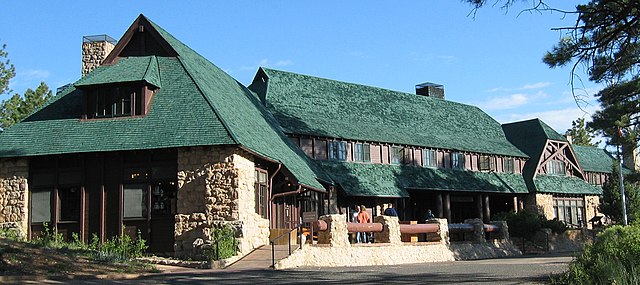
Bryce Canyon Lodge was built between 1924 and 1925 from local materials.


