The Shatt al-Arab is a river of some 200 kilometres (120 mi) in length that is formed at the confluence of the Euphrates and Tigris rivers in the town of al-Qurnah in the Basra Governorate of southern Iraq. The southern end of the river constitutes the Iran–Iraq border down to its mouth, where it discharges into the Persian Gulf. The Shatt al-Arab varies in width from about 232 metres (761 ft) at Basra to 800 metres (2,600 ft) at its mouth. It is thought that the waterway formed relatively recently in geological time, with the Tigris and Euphrates originally emptying into the Persian Gulf via a channel further to the west. Kuwait's Bubiyan Island is part of the Shatt al-Arab delta.
Shatt al-Arab pictured near Basra, Iraq
Arab ferryman on the Shatt al-Arab 1958
Shatt al-Arab near Basra city, Iraq
In geography, a confluence occurs where two or more watercourses join to form a single channel. A confluence can occur in several configurations: at the point where a tributary joins a larger river ; or where two streams meet to become the source of a river of a new name ; or where two separated channels of a river rejoin at the downstream end.
Confluence of the Bhagirathi and Alaknanda Rivers to produce the Ganges at Devprayag, India
The same confluence viewed from upstream at a different time; note the swirl of sediment from the Alaknanda.
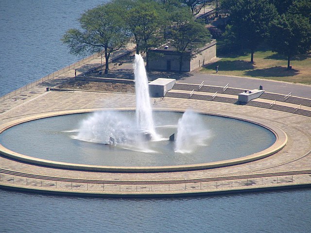
The fountain at Point State Park in Pittsburgh, at the apex of the confluence of the Allegheny (top) and the Monongahela
The White Nile and Blue Nile merge at Khartoum; April 2013 satellite view


