Sheikh Jarrah is a predominantly Palestinian neighborhood in East Jerusalem, two kilometres north of the Old City, on the road to Mount Scopus. It received its name from the 13th-century tomb of Hussam al-Din al-Jarrahi, a physician of Saladin, located within its vicinity. The modern neighborhood was founded in 1865 and gradually became a residential center of Jerusalem's Muslim elite, particularly the al-Husayni family. After the 1948 Arab–Israeli War, it became under Jordanian-held East Jerusalem, bordering the no-man's land area with Israeli-held West Jerusalem until Israel occupied the neighborhood in the 1967 Six-Day War. Most of its present Palestinian population is said to come from refugees expelled from Jerusalem's Talbiya neighbourhood in 1948.
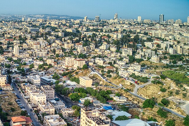
Sheikh Jarrah, 2023
Entrance to Sheikh Jarrah
Demonstration against eviction of Palestinian families, August 2010
Tomb of the Kings
East Jerusalem is the sector of Jerusalem that was held by Jordan after the 1948 Arab–Israeli War, as opposed to the western sector of the city, West Jerusalem, which was held by Israel. Under international law, East Jerusalem is considered a part of the West Bank and, therefore, of the Palestinian territories. A number of states recognize East Jerusalem as the capital of the State of Palestine, whereas other states assert that East Jerusalem "will be the capital of Palestine", while referring to it as "an occupied territory".
East Jerusalem zoning
William McLean's 1918 plan was the first urban planning scheme for Jerusalem. It laid the foundations for what became West Jerusalem and East Jerusalem.
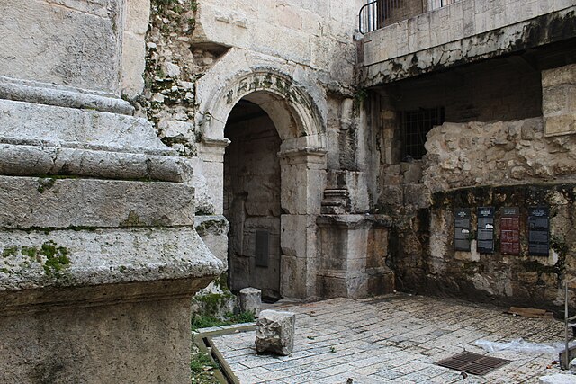
Old Roman era gate beneath the Damascus Gate (Bab al-'Amud) in Jerusalem
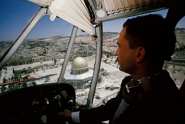
King Hussein flying over the Temple Mount while it was under Jordanian control, 1965


