Shopian district, known as Shupyan in Kashmiri, is an administrative district of Indian-administered Jammu and Kashmir in the disputed Kashmir region. It is a hill district with its administrative headquarters in Shopian town. As it is situated on the historical road commonly known as Mughal Road, most of its area is occupied by forests. Shopian district comes under the Pir Panjal Range which makes it very cold in winter. After partition of India, it was a tehsil of Pulwama district. In March, 2007, the district status was granted by the Government of India. The economy of the district depends on agriculture, particularly apple growing.
Shopian district is in Indian-administered Jammu and Kashmir in the disputed Kashmir region It is in the Kashmir division (bordered in neon blue).
Image: Jamia masjid shopian
Image: Aliabad Sarai Mughal Road
Image: Hirpora WLS Shopian Kashmir
Jammu and Kashmir (union territory)
Jammu and Kashmir is a region administered by India as a union territory and consists of the southern portion of the larger Kashmir region, which has been the subject of a dispute between India and Pakistan since 1947 and between India and China since 1959. The Line of Control separates Jammu and Kashmir from the Pakistani-administered territories of Azad Kashmir and Gilgit-Baltistan in the west and north. It lies to the north of the Indian states of Himachal Pradesh and Punjab and to the west of Ladakh which is administered by India as a union territory.
Image: Pahalgam Valley
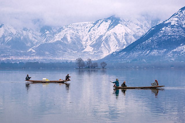
Image: Dal Lake Hazratbal Srinagar
Image: Shalimar gardens
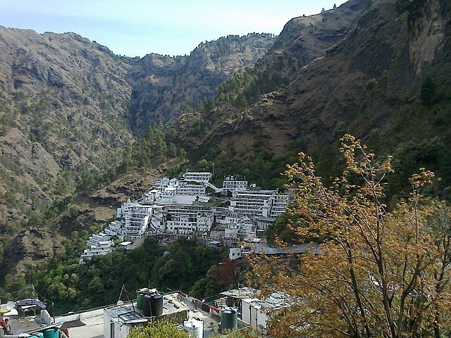
Image: Mata Vaishno Devi Bhawan, Jammu. India