Si Lom Road
Videos
Page
Si Lom Road is a major street in the Thai capital Bangkok, best known for its commercial neighbourhood, which, along with the nearby and roughly parallel Sathon Road, forms one of the city's main business districts. It runs in a southwest–northeast direction between Charoen Krung and Rama IV roads in the city's Bang Rak District, forming the boundary between Suriyawong Subdistrict to its north and Si Lom Subdistrict to its south. Si Lom was one of the earliest modern roads to be built in the city, and some of its side streets serve historic ethnic neighbourhoods from the late nineteenth century, while others are known as shopping and nightlife venues.

Si Lom Road in 2021

The windmill memorial at Silom–Naradhiwas Intersection commemorates the origins of the road's name.
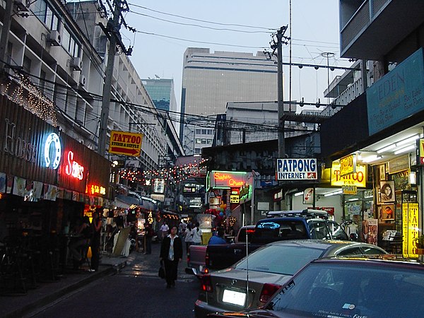
Patpong is well known as a red-light district catering to foreigners.

Sri Mahamariamman Temple is a major landmark on Si Lom Road
Bangkok
Videos
Page
Bangkok, officially known in Thai as Krung Thep Maha Nakhon and colloquially as Krung Thep, is the capital and most populous city of Thailand. The city occupies 1,568.7 square kilometres (605.7 sq mi) in the Chao Phraya River delta in central Thailand and has an estimated population of 9.0 million as of 2021, 13% of the country's population. Over 17.4 million people (25%) lived within the surrounding Bangkok Metropolitan Region at the 2021 estimate, making Bangkok an extreme primate city, dwarfing Thailand's other urban centres in both size and importance to the national economy.
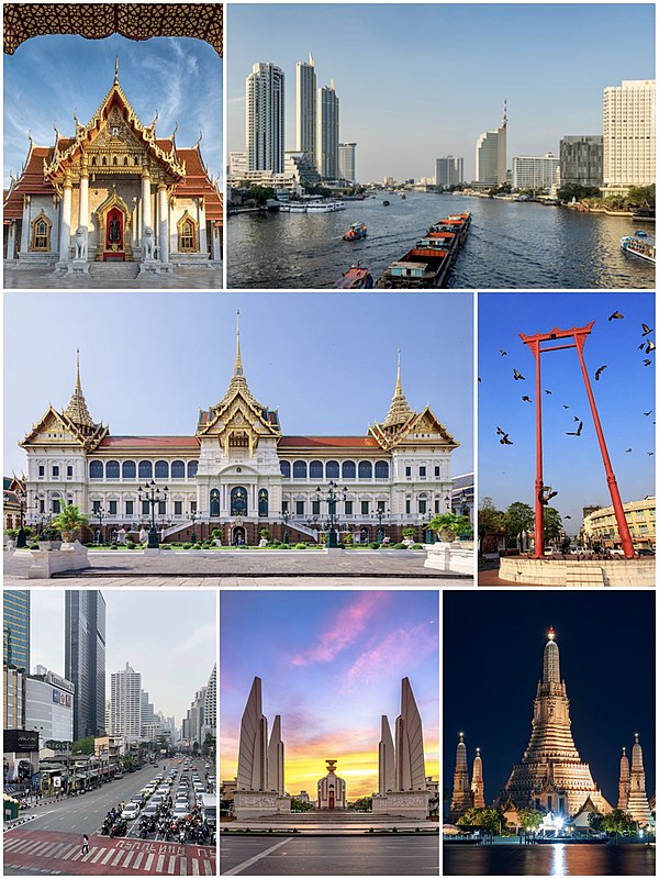
From top, left to right: Wat Benchamabophit, Chao Phraya River skyline, Grand Palace, Giant Swing, traffic on a road in Watthana District, Democracy Monument, and Wat Arun
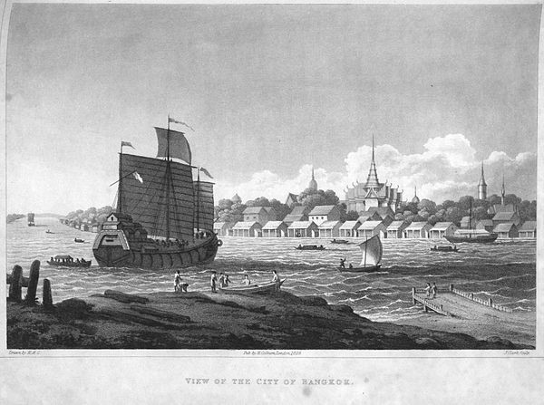
Engraving of the city from British diplomat John Crawfurd's embassy in 1822
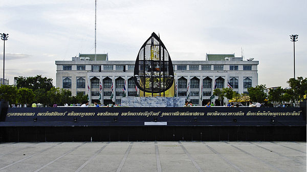
The city's ceremonial name is displayed in front of Bangkok City Hall.
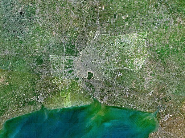
The city of Bangkok is highlighted in this satellite image of the lower Chao Phraya delta. The built-up urban area extends northward and southward into Nonthaburi and Samut Prakan provinces.