Sidcup
Videos
Photos
Sidcup is an area of south-east London, England, primarily in the London Borough of Bexley. It is 11.3 miles (18.2 km) south-east of Charing Cross, bordering the London Boroughs of Bromley and Greenwich. It was part of Kent prior to the creation of Greater London in 1965.

Sidcup High Street

The 18th-century Sidcup Place

The war memorial on the Green at Sidcup

Buildings along Faraday Avenue, reflecting a mix of high-rise and low-rise buildings in the area around Sidcup railway station
London Borough of Bexley
Videos
Photos
The London Borough of Bexley is a London borough in south-east London, forming part of Outer London. It has a population of 248,287. The main settlements are Sidcup, Erith, Bexleyheath, Crayford, Welling and Old Bexley. The London Borough of Bexley is within the Thames Gateway, an area designated as a national priority for urban regeneration. The local authority is Bexley London Borough Council.

Hall Place, with 16th- (left) and 17th-century wings.
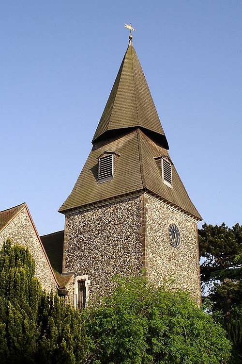
The distinctive spire of the ancient parish church of St Mary the Virgin in Bexley

Bexley Civic Offices