The Sierra de Tamaulipas is an isolated, semi-tropical mountain range in the Mexican state of Tamaulipas. Its highest point is 1,260 m (4,130 ft). There are no cities or towns in the Sierra and the small population is largely agricultural. The higher elevations of the Sierra have forests of oak and pine, contrasting with the semi-arid brush that dominates at lower altitudes. Several archaeological sites establish that the Sierra de Tamaulipas was the northern outpost of the agricultural Mesoamerican peoples of eastern Mexico.
El Zacatón with free floating grass island (lower right), Municipality of Aldama, Tamaulipas, Mexico
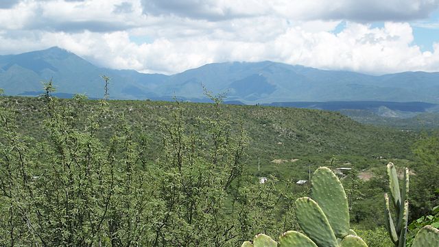
Sierra de Tamaulipas, Municipality of Aldama, Tamaulipas, Mexico
View of karstic formations in the Sierra de Tamaulipas, Municipality of Llera, Tamaulipas, Mexico.
Tamaulipas, officially the Free and Sovereign State of Tamaulipas, is a state in Mexico; one of the 31 states which, along with Mexico City, comprise the 32 Federal Entities of Mexico. It is divided into 43 municipalities.
Sierra Madre Oriental
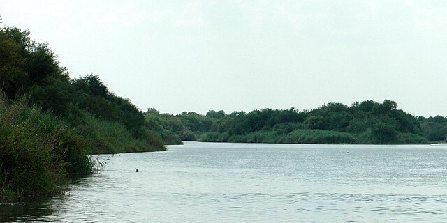
Rio Grande c. 4.8 kilometres (3 mi) southeast of Falcon Reservoir, Municipality of Mier, Tamaulipas, Mexico (August 2007)
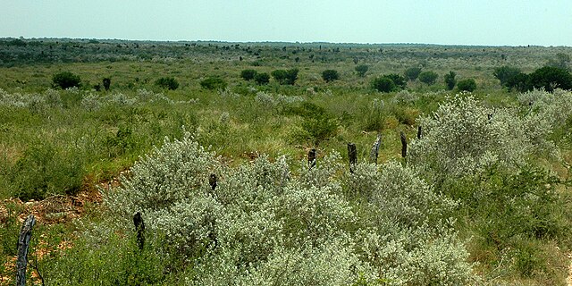
Thornscrub south of Reynosa, Municipality of Reynosa, Tamaulipas, Mexico (August 2007)
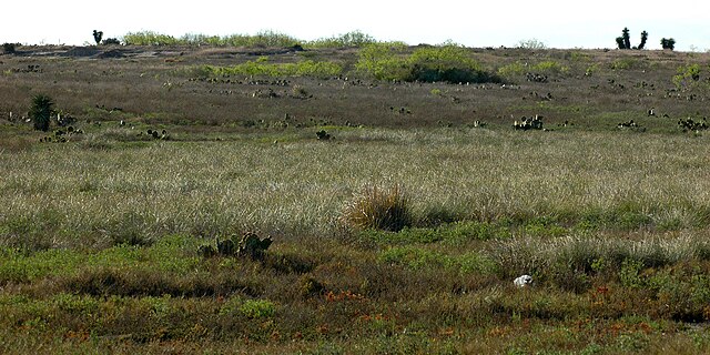
Grassland habitat on the road to Mezquital, Municipality of Matamoros, Tamaulipas, Mexico (March 2009)