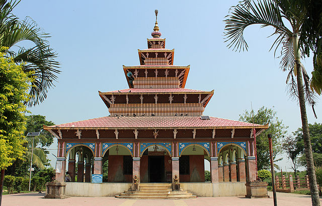
Siraha District, a district in Madhesh Province, is one of the seventy-seven districts of Nepal. It is situated in the Terai belt of Nepal. The district, with Siraha as its district headquarters, covers an area of 1,188 km2 (459 sq mi). It has population of 637,328 according to census of 2011.The District is bordered with Saptari district in the east, Udayapur districting the north, Bihar state of India in the south and Dhanusa district in the west. Majority of the population here is Yadav, Tharus, Sahs(sahukar), Muslims and ethnic minorities with majority population speaking Maithili language and Nepali language.
Lahan Bazar in Siraha District
Kumbhikhadi Taal (lake), a tourist destination in Siraha district of Terai, Nepal.
Madhesh Province is a province of Nepal in the Terai region with an area of 9,661 km2 (3,730 sq mi) covering about 6.5% of the country's total area. It has a population of 6,126,288 as per the 2021 Nepal census, making it Nepal's most densely populated province and the smallest province by area.
It borders Koshi Pradesh to the east and the north, Bagmati Province to the north, and India’s Bihar state to the south and the west.
The border between Chitwan National Park and Parsa National Park acts as the provincial boundary in the west, and the Kosi River forms the provincial border in the east. The province includes eight districts, from Parsa in the west to Saptari in the east.
Image: Janki Mandir alt version
Image: Kankalini Temple 5983
Image: Shankharacharya Gate, Birgunj
Image: Chinnamasta Temple Rajbiraj Saptari NPSAP01 (13)


