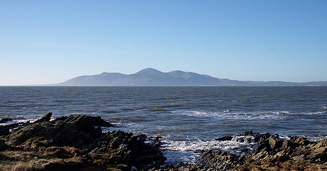
Slieve Croob is a mountain with a height of 534 metres (1,752 ft) in the middle of County Down, Northern Ireland. It is the heart of a mountainous area, the Dromara Hills, north of the Mourne Mountains. It is designated an Area of Outstanding Natural Beauty and is the source of the River Lagan. There is a small road to the summit, where there is an ancient burial cairn and several transmitter stations with radio masts. It has wide views over all of County Down and further afield. The Dromara Hills also includes Slievenisky, Cratlieve, Slievegarran and Slievenaboley.
Slieve Croob from the north
Slieve Croob from Slievenisky
Slieve Croob from the west, covered with patches of snow
The summit, looking towards the Mournes
County Down is one of the six counties of Northern Ireland, one of the nine counties of Ulster and one of the traditional thirty-two counties of Ireland. It covers an area of 961 sq mi (2,490 km2) and has a population of 552,261. It borders County Antrim to the north, the Irish Sea to the east, County Armagh to the west, and County Louth across Carlingford Lough to the southwest.
Mourne Mountains
King John's Castle on Carlingford Lough.
A steam train on the Downpatrick and County Down Railway travelling through the Ulster drumlin belt near Downpatrick.


