Soledad Canyon is a long narrow canyon/valley located in Los Angeles County, California between the cities of Palmdale and Santa Clarita. It is a part of the Santa Clara River Valley, and extends from the top of Soledad Pass to the open plain of the valley in Santa Clarita. The upstream section of the Santa Clara River runs through it.
Aerial view of Soledad Canyon, with the Antelope Valley Freeway winding up through it from Santa Clarita toward Palmdale. Agua Dulce is visible in the center of the image, just left of the freeway.
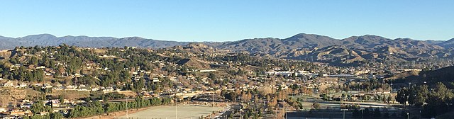
Canyon Country is located in the western portion of Soledad Canyon
Aerial view of the Santa Clara River as it winds through Soledad Canyon just east of Santa Clarita
Santa Clarita, California
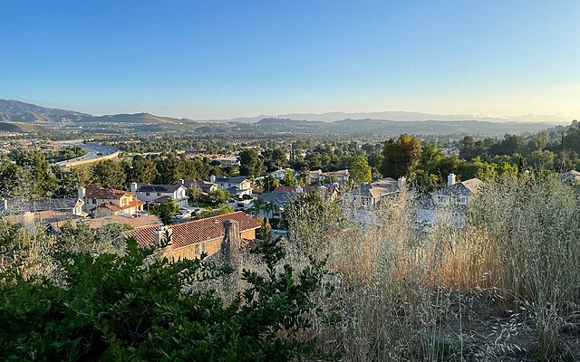
Santa Clarita is a city in northwestern Los Angeles County in the U.S. state of California. With a 2020 census population of 228,673, it is the third-most populous city in Los Angeles County, the 17th-most populous in California, and the 103rd-most populous city in the United States. It is located about 30 miles (48 km) northwest of downtown Los Angeles, and occupies 70.75 square miles (183.2 km2) of land in the Santa Clarita Valley, along the Santa Clara River. It is a classic example of a U.S. edge city, satellite city, or boomburb.
Image: Winter at Central Park, Santa Clarita (cropped)
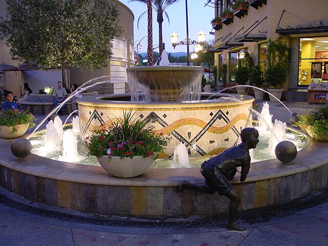
Image: 2000 0820 Towncenter Fountain
Image: WS Hart House (cropped)
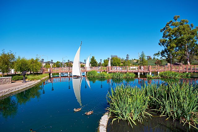
Image: Bridgeport Lighthouse, Santa Clarita CA