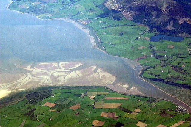
The Solway Firth is a firth that forms part of the border between England and Scotland, between Cumbria and Dumfries and Galloway. It stretches from St Bees Head, just south of Whitehaven in Cumbria, to the Mull of Galloway, on the western end of Dumfries and Galloway. The Isle of Man is also very near to the firth. The firth comprises part of the Irish Sea.
Satellite photo, includes processing enhancements to highlight sediments, dissolved organic matter, and water depth.
The estuary of the River Nith, opening into the Solway Firth south of Dumfries.
Haaf net fishing in the Solway Firth
Firth is a word in the English and Scots languages used to denote various coastal waters in the United Kingdom, predominantly within Scotland. In the Northern Isles, it more often refers to a smaller inlet. It is linguistically cognate to fjord, which has a more constrained sense in English. Bodies of water named "firths" tend to be more common on the Scottish east coast, or in the southwest of the country, although the Firth of Clyde is an exception to this. The Highland coast contains numerous estuaries, straits, and inlets of a similar kind, but not called "firth" ; instead, these are often called sea lochs. Before about 1850, the spelling "Frith" was more common.
The estuary of the River Nith, opening into Solway Firth south of Dumfries.
Entrance to the Cromarty Firth, with oil rigs behind
Dundee from the Fife shore of the Firth of Tay
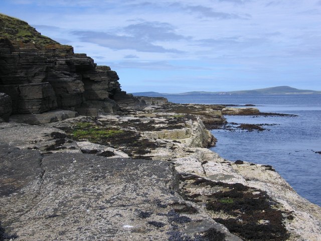
Cliffs in Saviskaill Bay on Rousay, looking northward to Westray across Westray Firth


