Somerset Coalfield
Videos
Page
The Somerset Coalfield in northern Somerset, England is an area where coal was mined from the 15th century until 1973. It is part of a larger coalfield which stretched into southern Gloucestershire. The Somerset coalfield stretched from Cromhall in the north to the Mendip Hills in the south, and from Bath in the east to Nailsea in the west, a total area of about 240 square miles (622 km2). Most of the pits on the coalfield were concentrated in the Cam Brook, Wellow Brook and Nettlebridge Valleys and around Radstock and Farrington Gurney. The pits were grouped geographically, with clusters of pits close together working the same coal seams often under the same ownership. Many pits shared the trackways and tramways which connected them to the Somerset Coal Canal or railways for distribution.
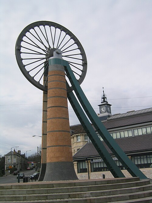
The old coal mining sheave wheel, now featured in the centre of Radstock, in front of the Radstock Museum
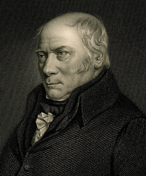
William Smith.

The Pensford Colliery winding house after conversion.

The spoil tip in Paulton, referred to locally as "The Batch"
Somerset
Videos
Page
Somerset is a ceremonial county in South West England. It is bordered by the Bristol Channel, Gloucestershire, and Bristol to the north, Wiltshire to the east and the north-east, Dorset to the south-east, and Devon to the south-west. The largest settlement is the city of Bath, and the county town is Taunton.

Image: Somerset Levels from Glastonbury Tor (27941775545) (cropped)
Image: St Mary the Virgin, Bruton, Somerset

Image: Puente Pulteney, Bath, Inglaterra, 2014 08 12, DD 51

Palladian Pulteney Bridge at Bath