Somerset Levels
Videos
Photos
The Somerset Levels are a coastal plain and wetland area of Somerset, England, running south from the Mendips to the Blackdown Hills.

The Somerset Levels, seen from Glastonbury Tor

Glastonbury Tor

The River Brue in an artificial channel draining farmland near Glastonbury

Greylake sluice on King's Sedgemoor Drain
Somerset
Videos
Photos
Somerset is a ceremonial county in South West England. It is bordered by the Bristol Channel, Gloucestershire, and Bristol to the north, Wiltshire to the east and the north-east, Dorset to the south-east, and Devon to the south-west. The largest settlement is the city of Bath, and the county town is Taunton.

Image: Somerset Levels from Glastonbury Tor (27941775545) (cropped)
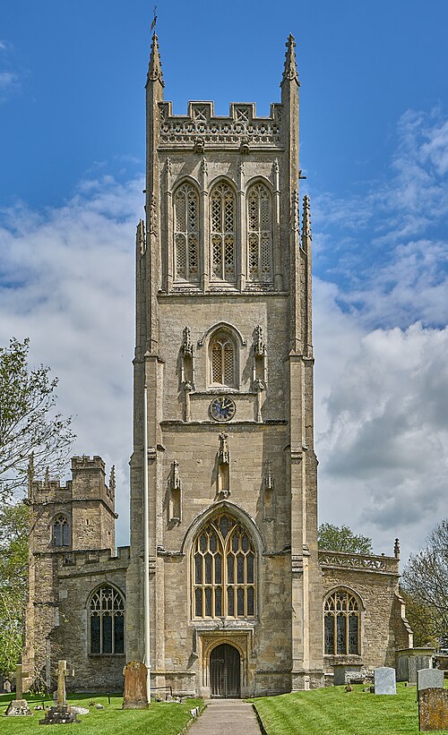
Image: St Mary the Virgin, Bruton, Somerset

Image: Puente Pulteney, Bath, Inglaterra, 2014 08 12, DD 51

Palladian Pulteney Bridge at Bath