South Manitou Island
Videos
Page
South Manitou Island is located in Lake Michigan, approximately 16 miles (26 km) west of Leland, Michigan. It is part of Leelanau County and the Sleeping Bear Dunes National Lakeshore. The uninhabited island is 8.277 sq mi (21.44 km2) in land area and can be accessed by a ferry service from Leland. Guided tours on open-air vehicles are available to visitors, but most traffic is on foot. Larger North Manitou Island lies to its north.

South Manitou Island Light Blueprint

The lighthouse on South Manitou Island, built in 1871.
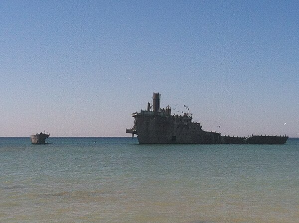
Francisco Morazan shipwreck.
Lake Michigan
Videos
Page
Lake Michigan is one of the five Great Lakes of North America. It is the second-largest of the Great Lakes by volume and the third-largest by surface area, after Lake Superior and Lake Huron. To the east, its basin is conjoined with that of Lake Huron through the 3+1⁄2-mile (5.6-kilometer) wide, 295-foot deep Straits of Mackinac, giving it the same surface elevation as its easterly counterpart; geologically, the two bodies are a single lake that is, by area, the largest freshwater lake in the world.
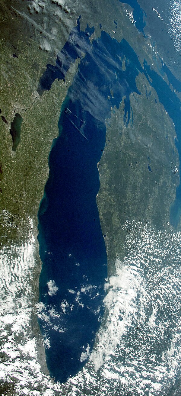
Lake Michigan viewed from the International Space Station (August 19, 2019). Chicago sits at the extreme S.W. of the lake.

Most islands in Lake Michigan are in the northern part of the lake. Photo taken from the International Space Station on April 10, 2022.

Grand Traverse Bay, a large bay of Lake Michigan in Michigan's Lower Peninsula, from the community of Elk Rapids

View of Lake Michigan from Indiana Dunes National Park